Note: (July 2019) These trails are open on both sides of Hwy 1 (Partington Cove Trail and Tan Bark Trail), but many of the trails on the east side of Hwy 1 throughout Big Sur are closed because of the 2016 Sobreanes fire. Check this link for the latest information on trail access and park information.
We were about 6 miles south of Nepenthe on Hwy 1, and we saw a few cars pulled over along a tight turn. I’m thinking that’s a sure sign that there must be something worthwhile nearby, sort of like seeing a crowded parking lot at a local diner. Turns out I was right.
Partington Cove isn’t well marked. No big signs, no parking lots. It’s technically in a state park (Julia Pfeiffer Burns State Park) but you wouldn’t know it until you see the official looking ‘no diving’ sign at the head of the trail to the beach.
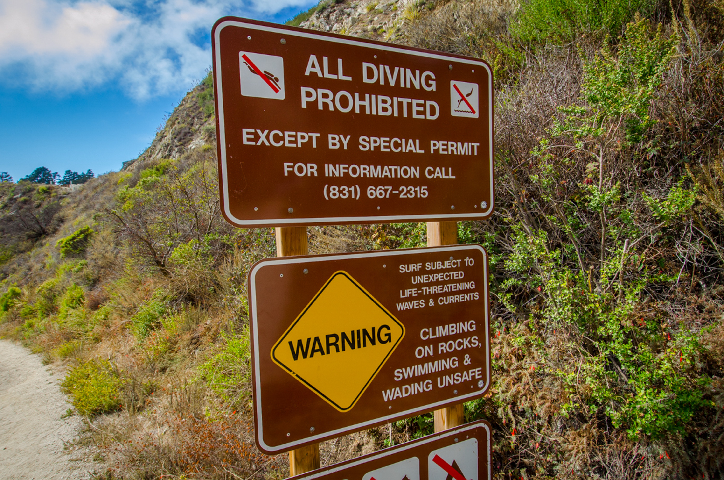
OK. Now we’re curious. I mean, how often do you run into a ‘no cliff diving’ sign at your local state park?
And that was a clue to one of the ‘two treats’ you’ll get to see. With this one stop you can either head down to the rocky beach for an up-close encounter with some Big Sur coastline, or just walk there other direction across Hwy 1 for an up-close encounter with some Big Sur redwoods.
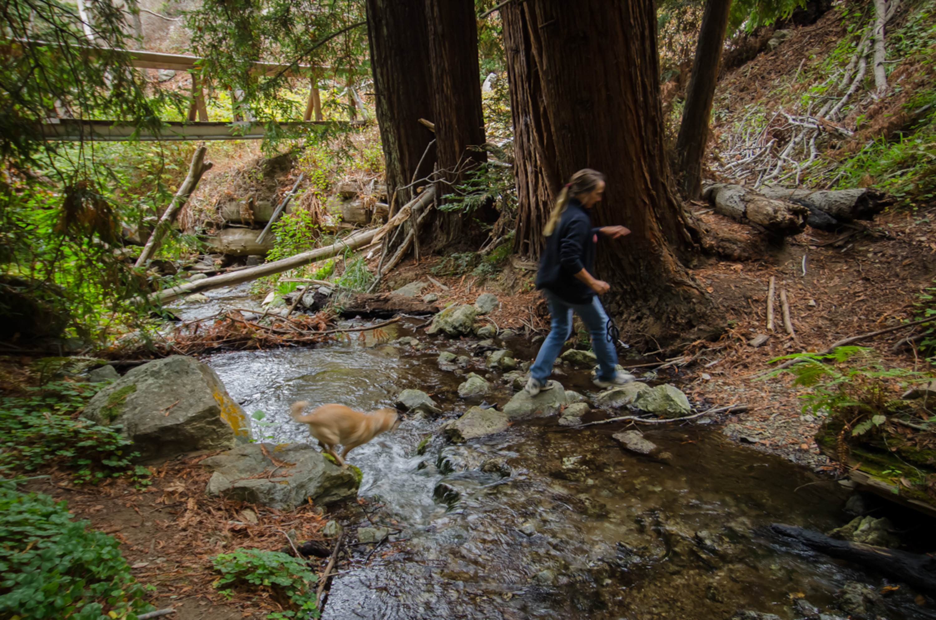
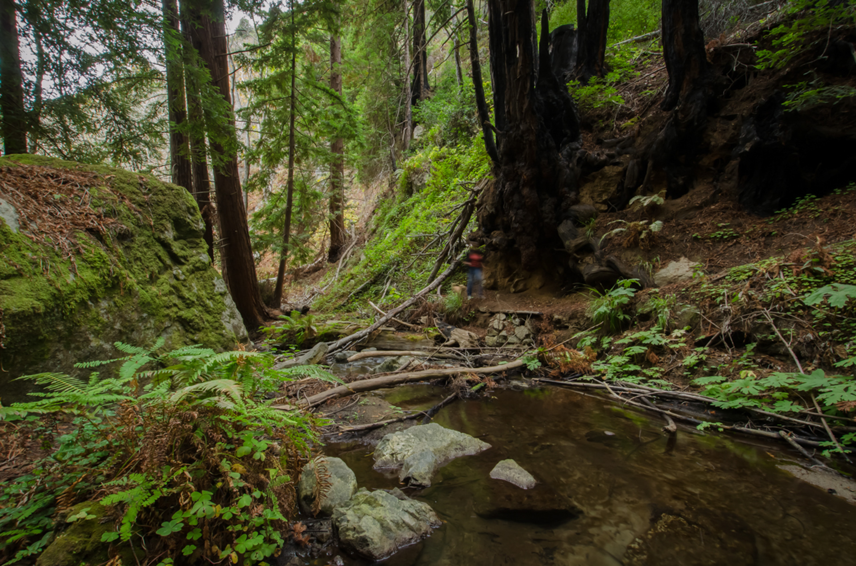
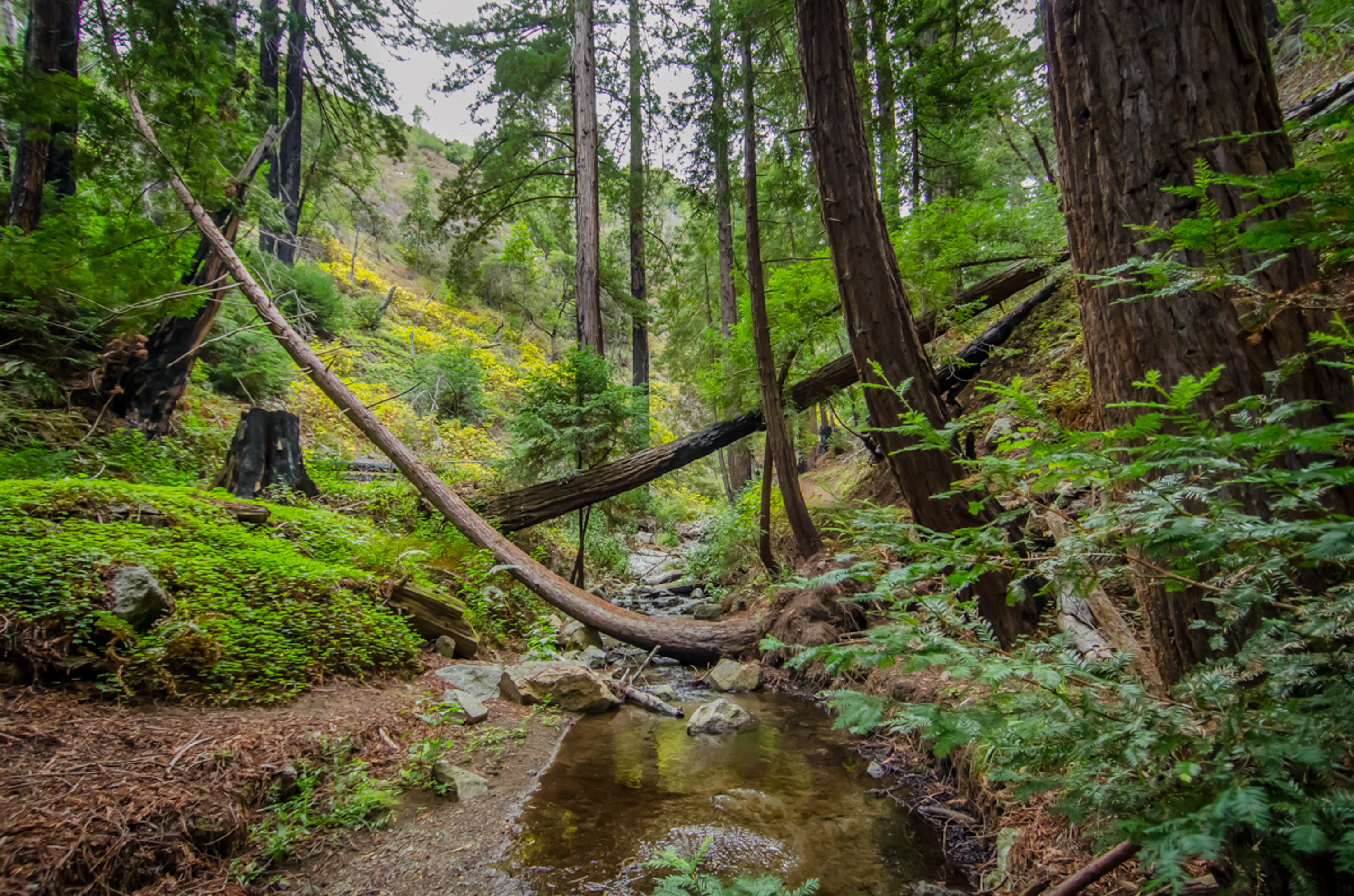

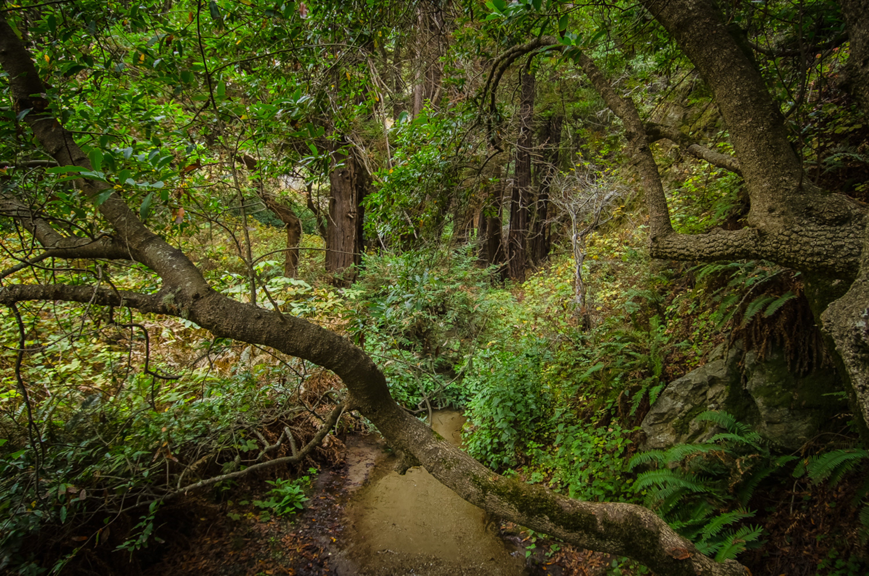
We headed to the woods first. Within a hundred yards you’ll be on the ‘Tanbark Trail’ which explains how this part of the park was first developed. It seems that the bark was stripped from nearby ‘tanbark’ oaks, stacked and sold to be used in the leather tanning industry. The trail was built to haul the tanbark by wagon along the creek bed and through a tunnel built by John Partington to waiting ships moored in a near-perfect cove along the coast.
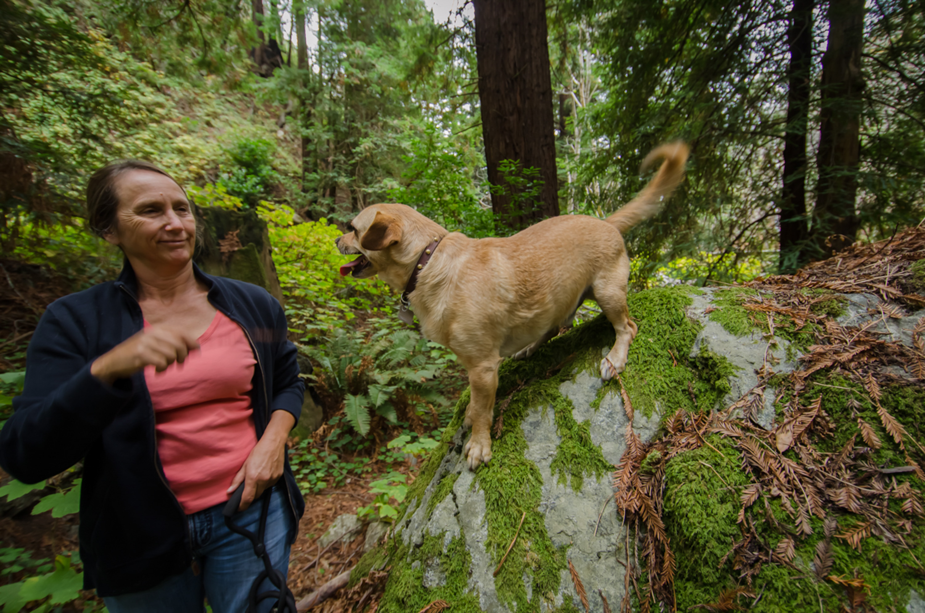
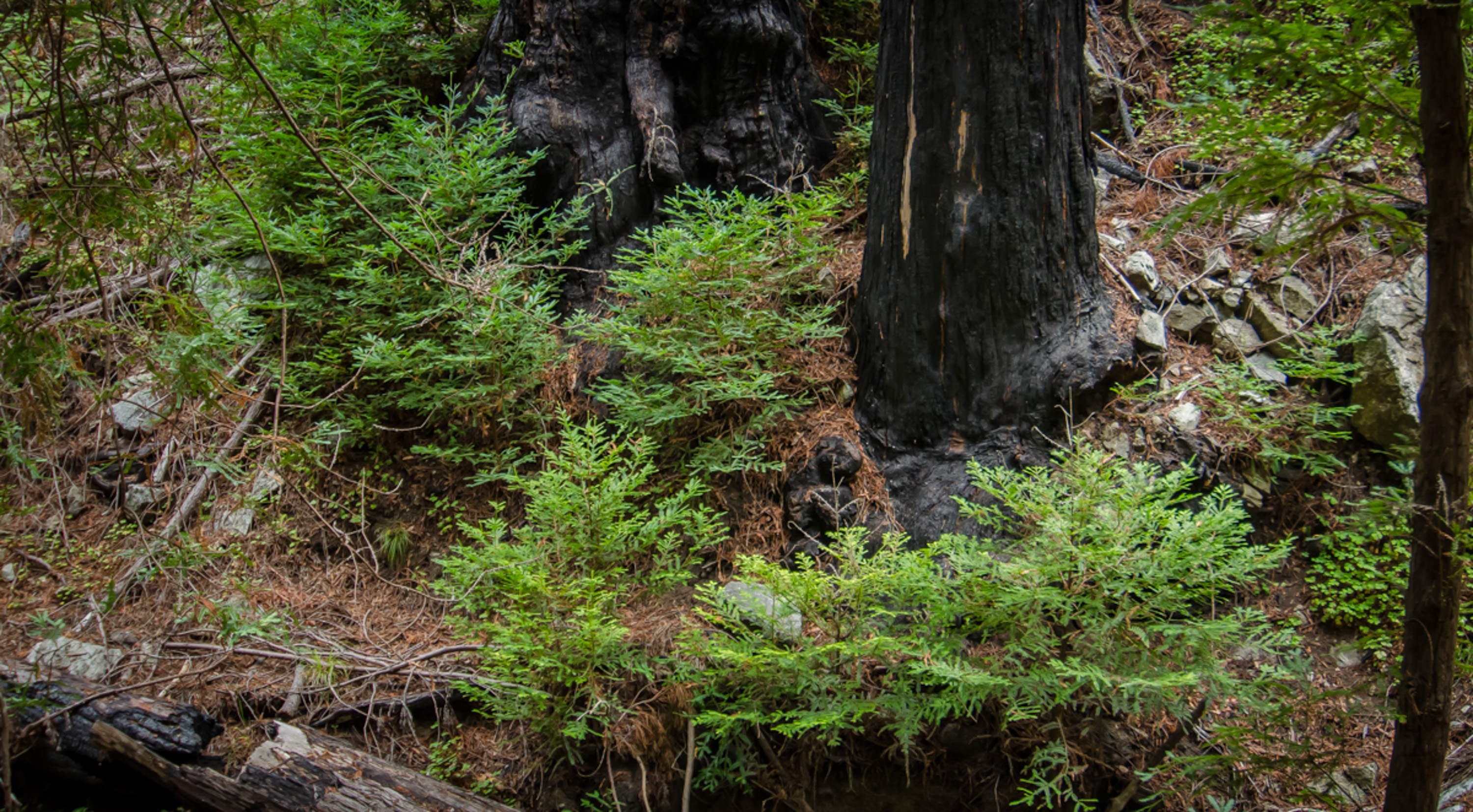
We walked along the trail through the big trees, almost all bearing the scars of the Basin fire that tore through the area in June and July of the disastrous 2008 California fire siege. That was ten years ago.
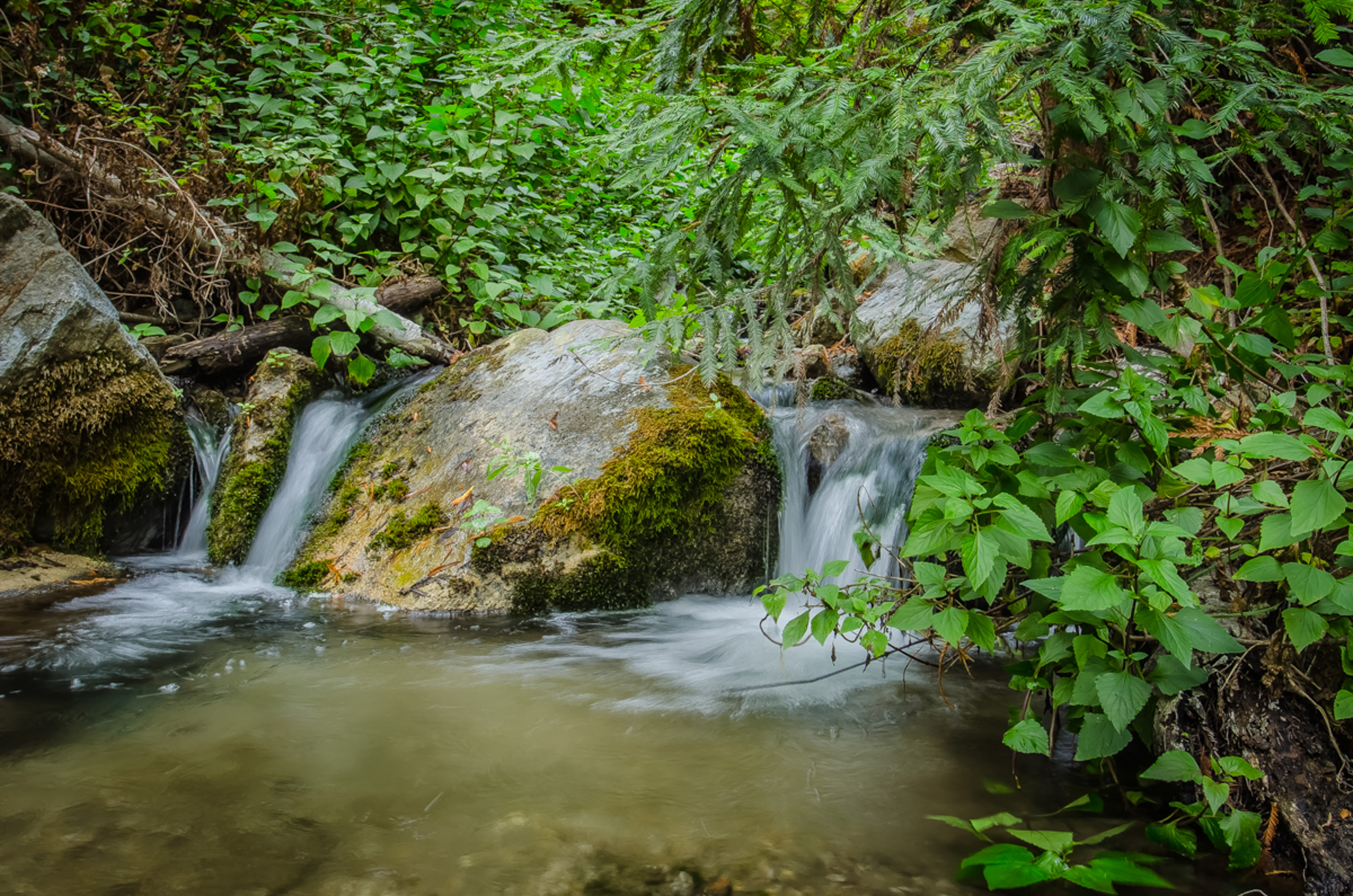
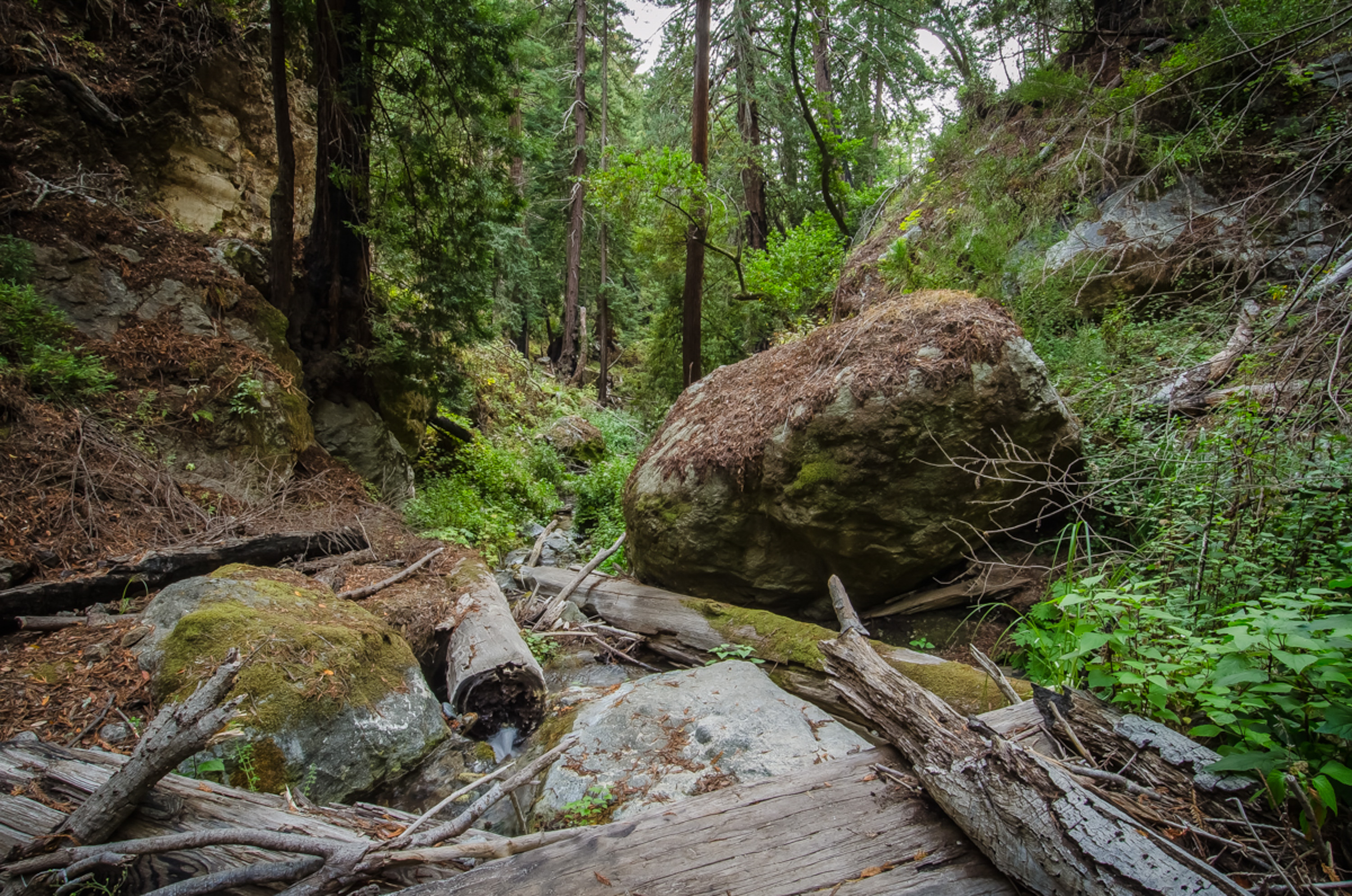
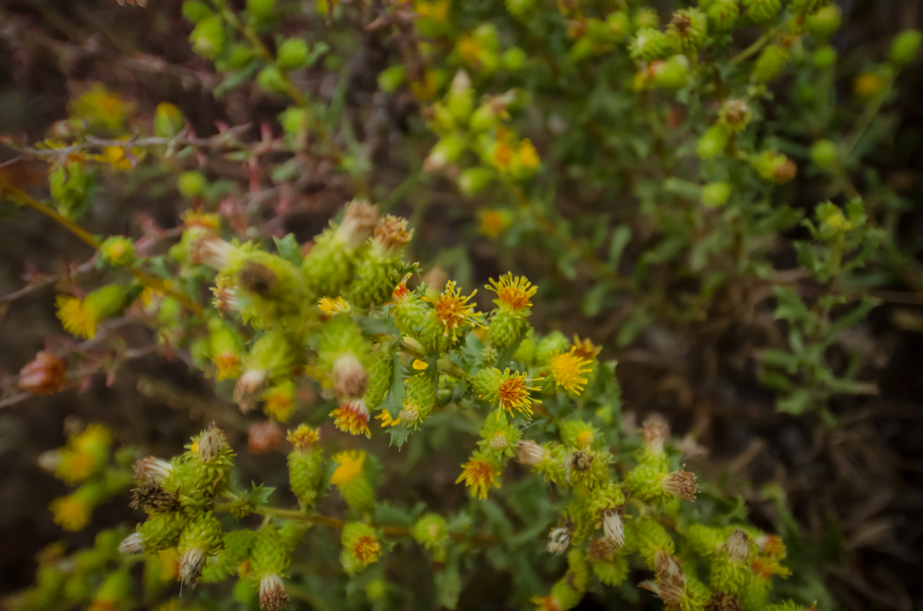
You can see the effects of the fire: the stream is somewhat cluttered with debris, but still beautiful, and there’s new growth everywhere, which is a wonder considering the current drought situation. The soothing sound of the water in the creek is another wonder.
I’m making a mental note to come back here after a really, really good rainfall to see what it looks like when these steep hillsides funnel all of that water into what is just now a quiet little stream…
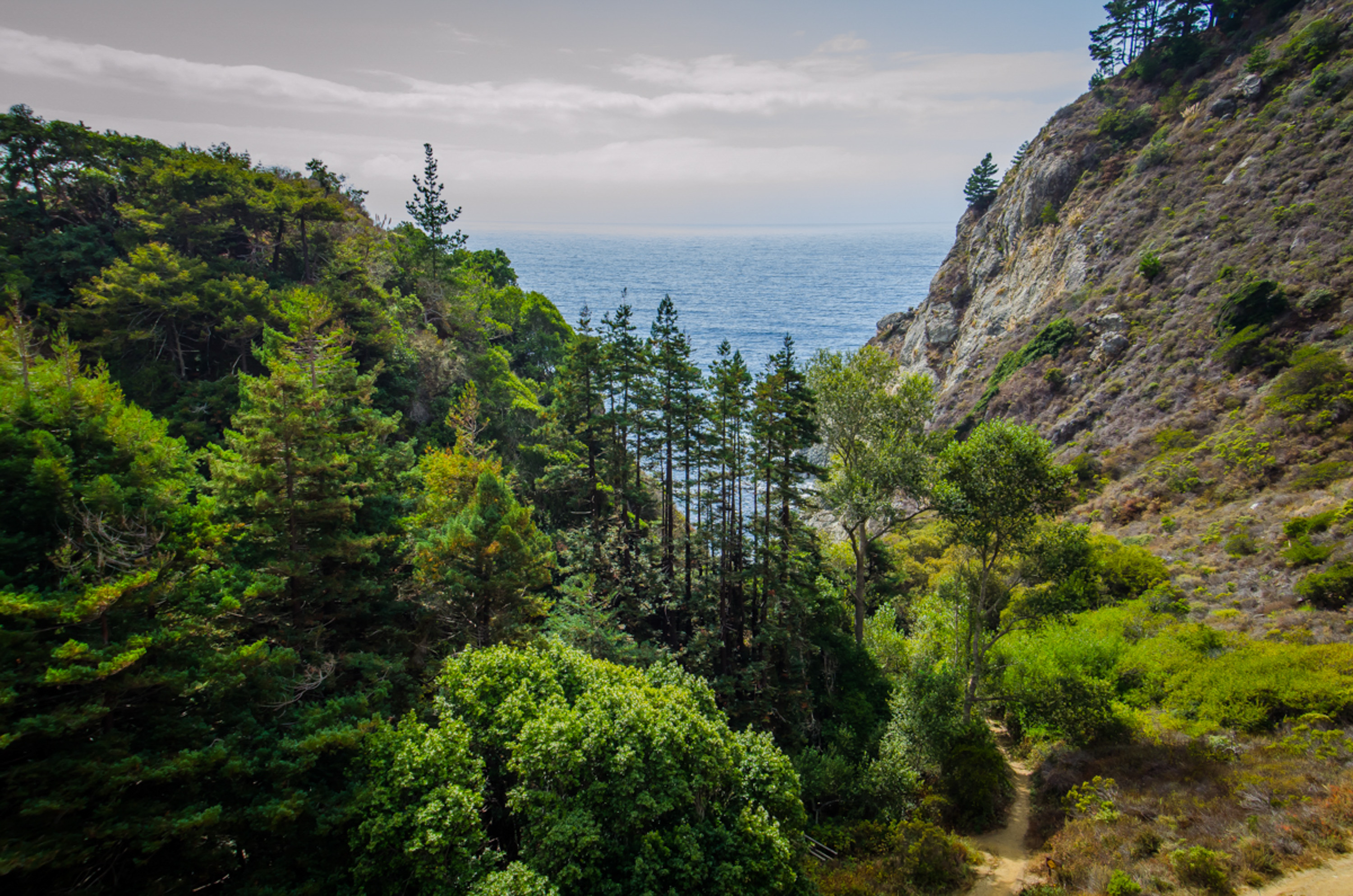

You can hike much further up the trail, but we decided to turn around, cross the road and see what was on the ocean side of Hwy 1.
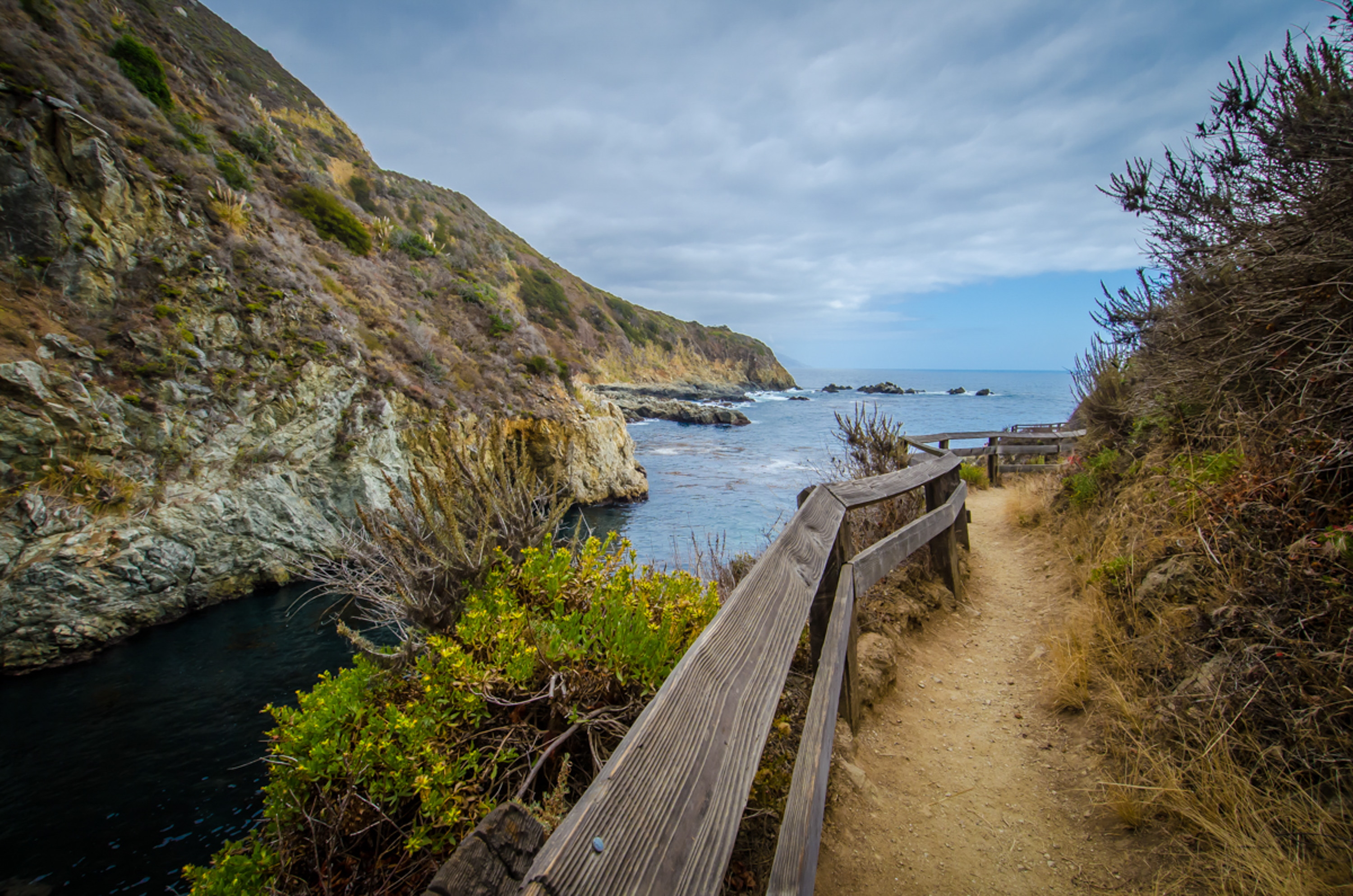
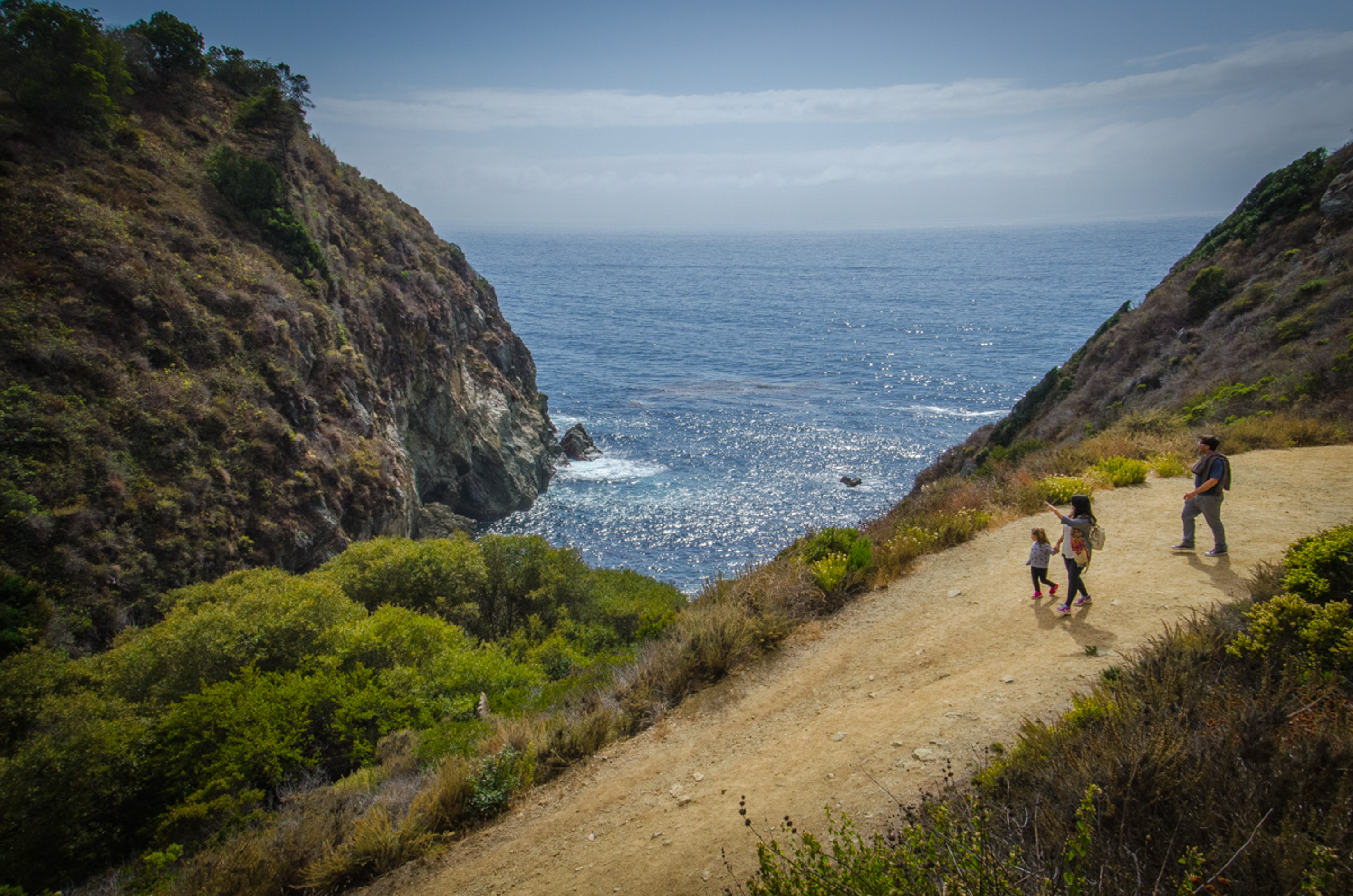
The trail on this side of the highway is wide, and winds its way to the shoreline with a relatively brisk grade, which is pretty harmless going down, but will matter on the way back up.
The beach trail then splits in two. One way takes you through the tanbark tunnel, which is short, maybe a little creepy for some.
But there is light at the end of the tunnel, as it opens up to the blue-green water and sheer cliffs of Partington Cove.
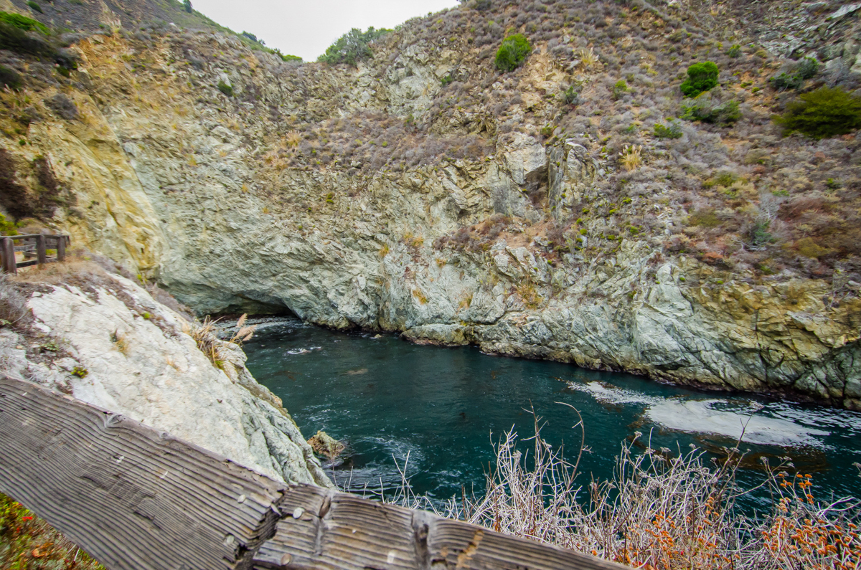

Now the ‘no cliff diving’ sign makes sense. Pocket coves like this are unusual along the Big Sur coast, and you can see why rumors say there was more than tanbark coming through here during Prohibition.
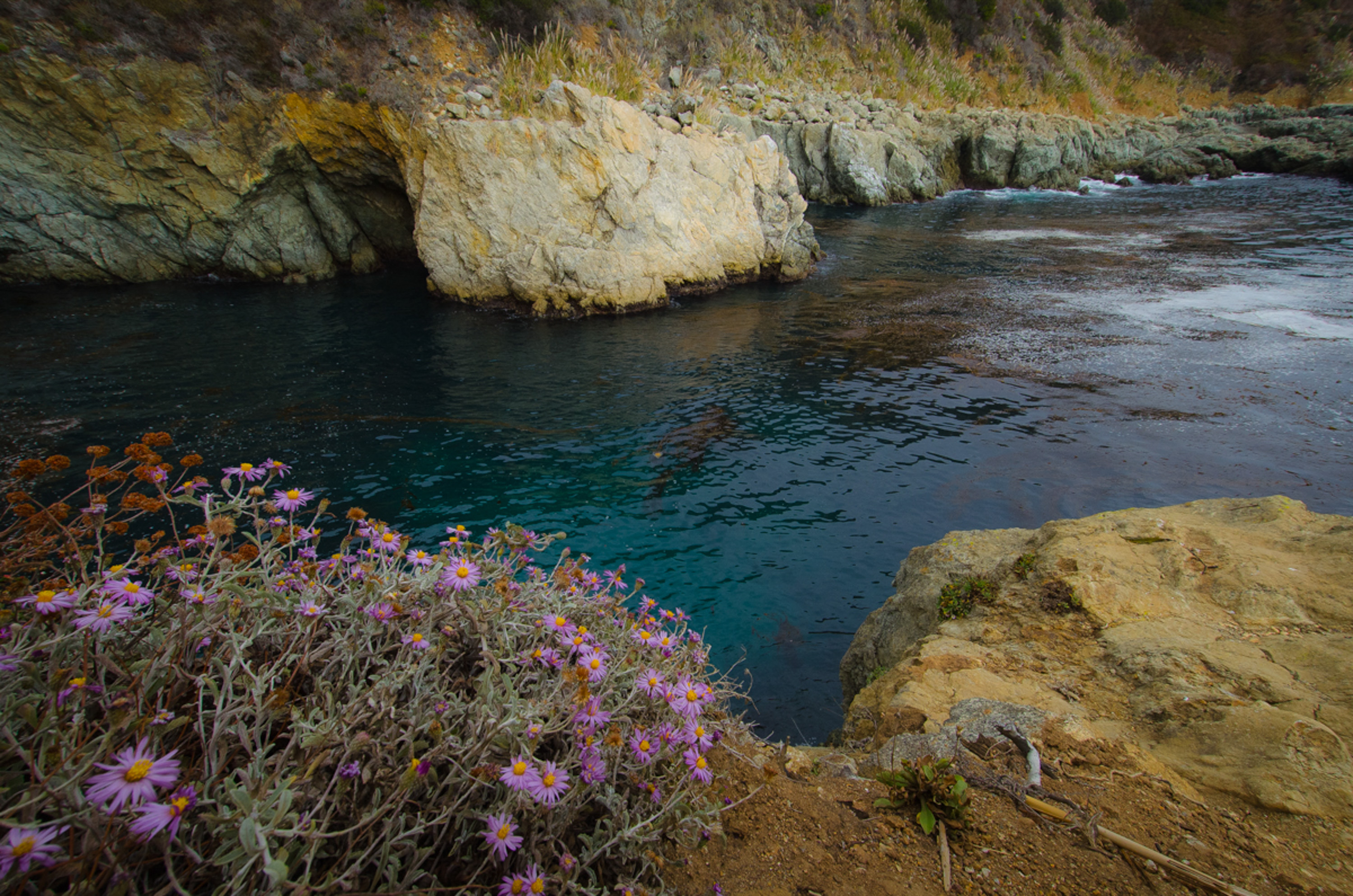
Head back out through the tunnel and make a left to the other ocean access that’s here. It’s a small rocky beach where Partington Creek empties into the ocean.
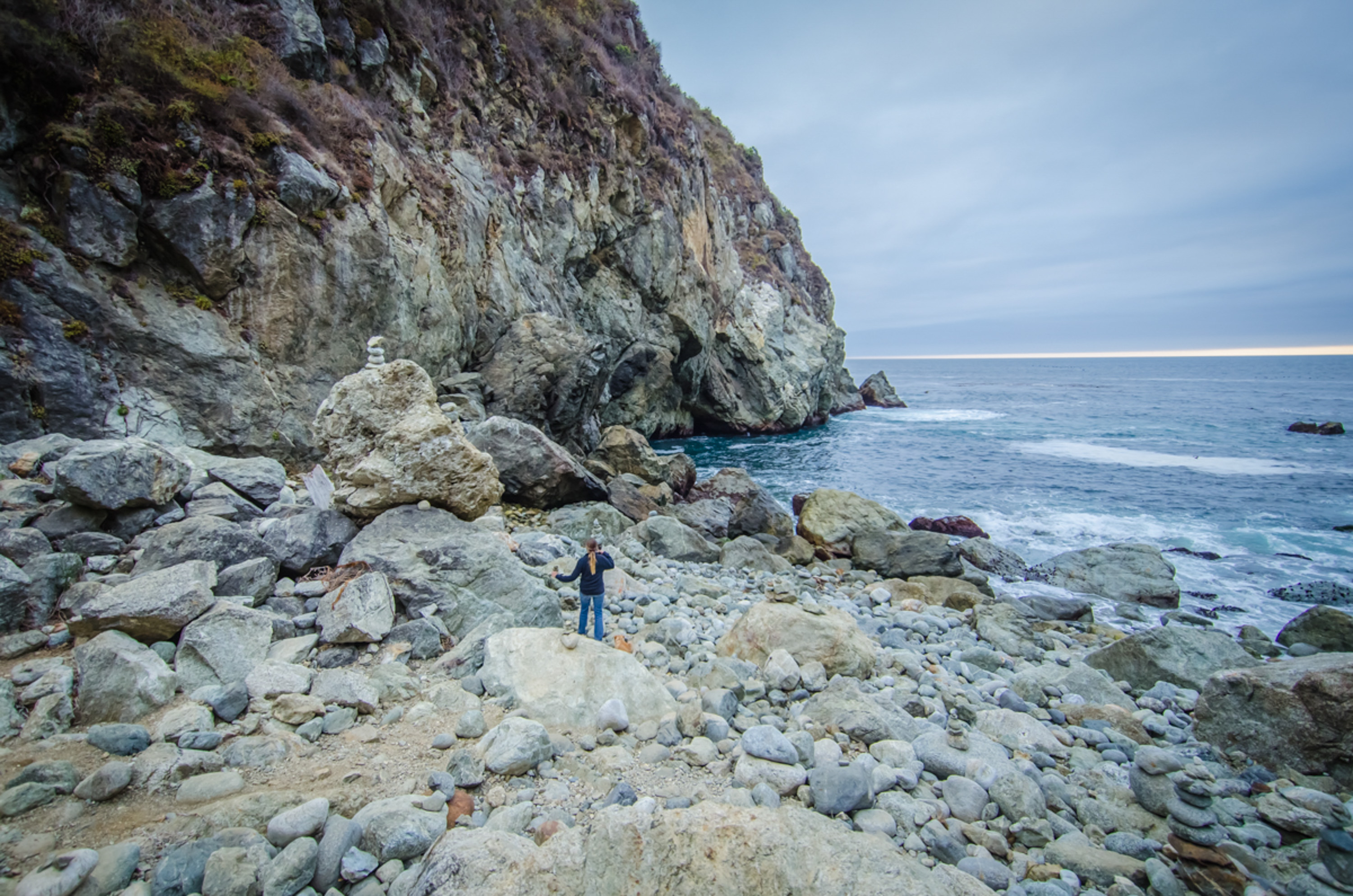
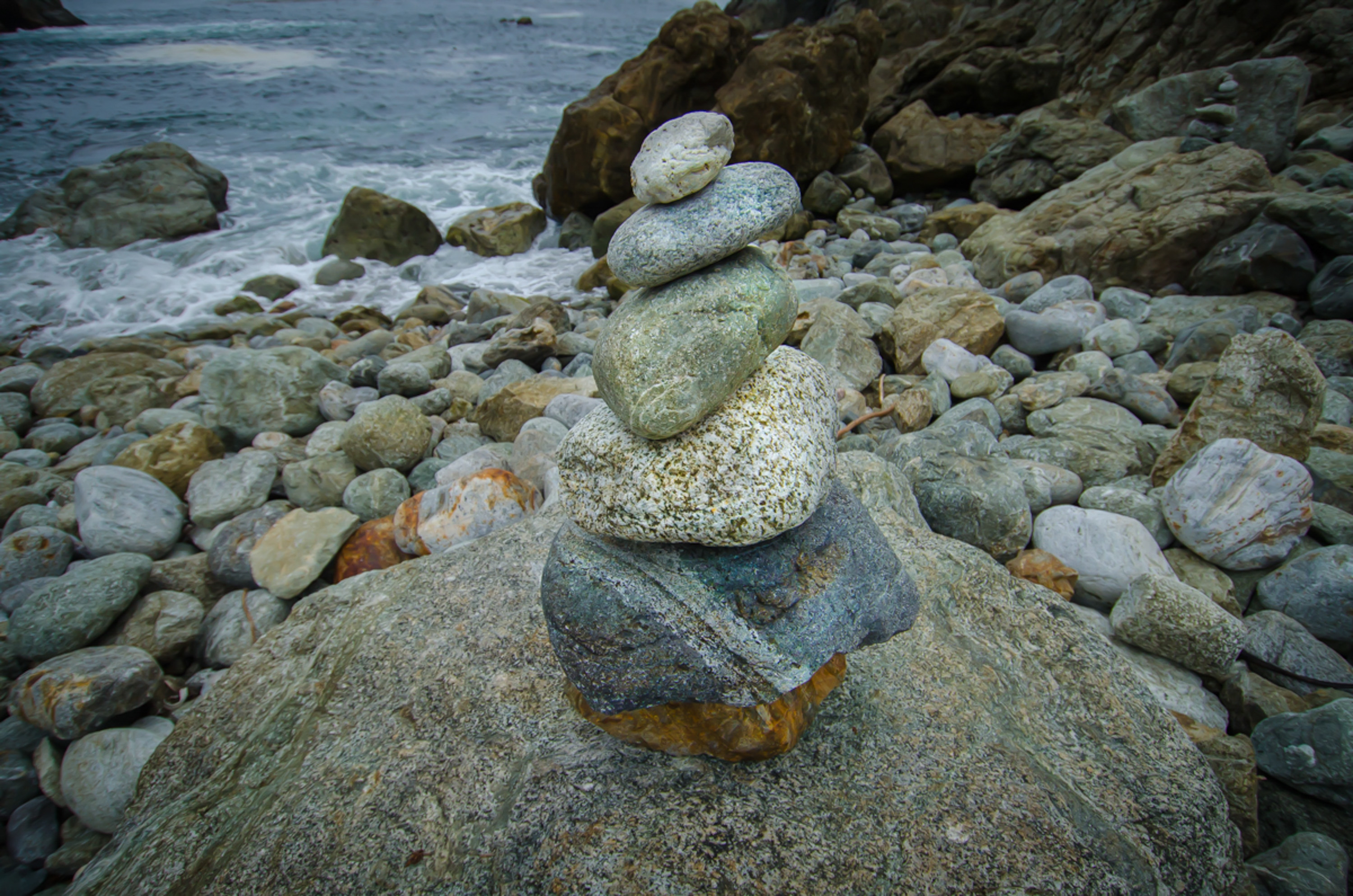

You can get close to the water, and try your hand at balancing rocks on top of one another into a cairn like other visitors do.
The Partington Beach area bears a strong resemblance to the trails and beach you’ll encounter when you stop at the McWay Falls area (also within Julia Pfeiffer State Park) just a little further south on Hwy 1. McWay Falls in a classic Big Sur photo stop, but you’ll shoot the falls and the beach there from a distance. The trail through the woods is also very nice, but likely to be a little more crowded, especially on weekends.
Both of the Partington Cove ocean venues should be pretty spectacular when the surf kicks up. The big Pacific sets colliding with the immoveable coastline could be pretty dramatic against the late afternoon sunset.
This is also one of those locations where you could easily have the whole beach to yourself on a weekday afternoon.

Kid Factor: (+) On the beachside, the tunnel is pretty cool, and the rocky beach on the trail to the right is great fun. Rocks to pile up, pools of water to play in are all great kid stuff. (-) But have a healthy respect for the surf, especially the occasional set that might come in and suddenly push the ‘high water’ mark back about 20 yards with you or your family in the middle. Remember, parts of this area can be pretty remote, meaning cel service can be spotty and so can rescue help.
Fitness Factor: All pretty harmless stuff, but the return hike from the beach back up to Hwy 1 could be a challenge. Three-flight rule in effect: If three flights of stairs always makes you beg for the elevator, then you might want to give the beach trail a second thought.
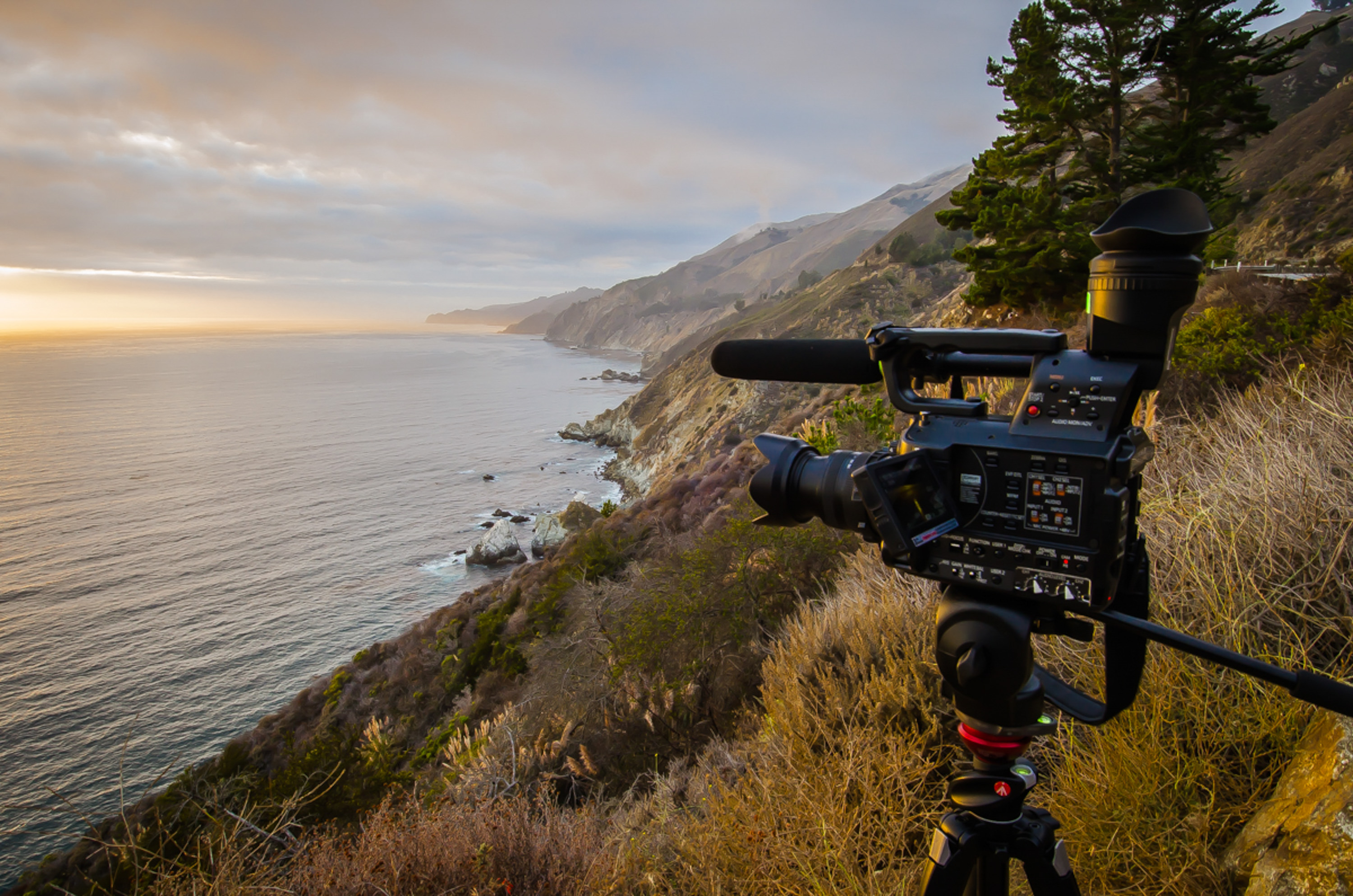
Photo Factor: Redwoods and Big Sur coastline. What else is there to say? Shooting in the woods can be a lighting challenge. Shoot raw, get the tripod, bracket a few stops either way, and you’ll get what you need. Funny thing about shooting in the woods. It’s really, really vertical. Which sounds kinda obvious, but when you get your face to the viewfinder, even with a wide lens, you’ll find yourself having to back up to get the stream bed in the same shot as the forest canopy. The next time I go back I’ll think about getting off the trail and climbing up the hillsides a bit to get above the creek and a little higher into the canopy level. On the beach side, you’ll want to think about slower shutter speeds to soften the motion of the water, and faster shutter speeds to capture big breaking waves. And be patient…. spend some time and sooner or later you’ll get a really nice splash of wave action.