
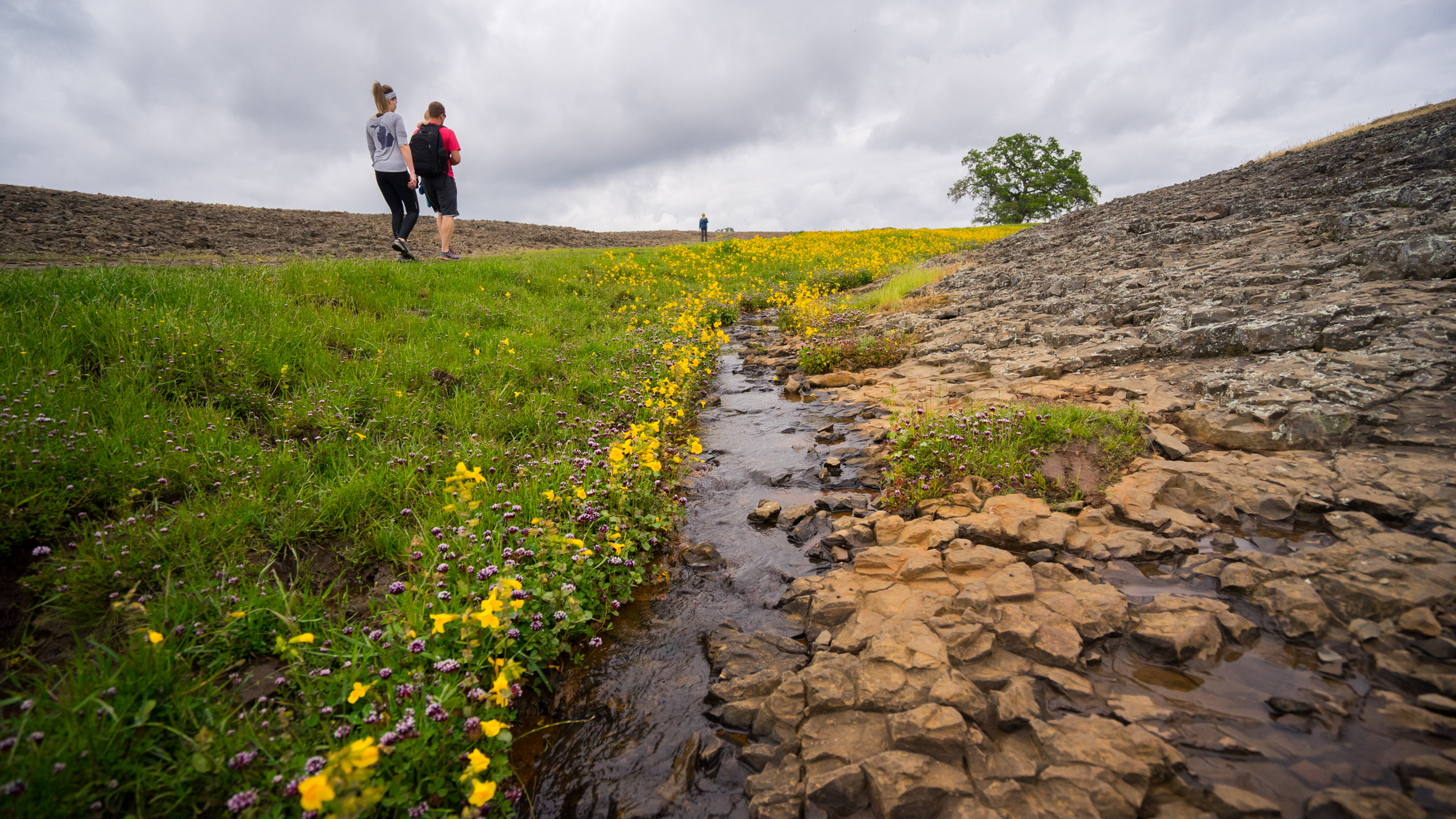
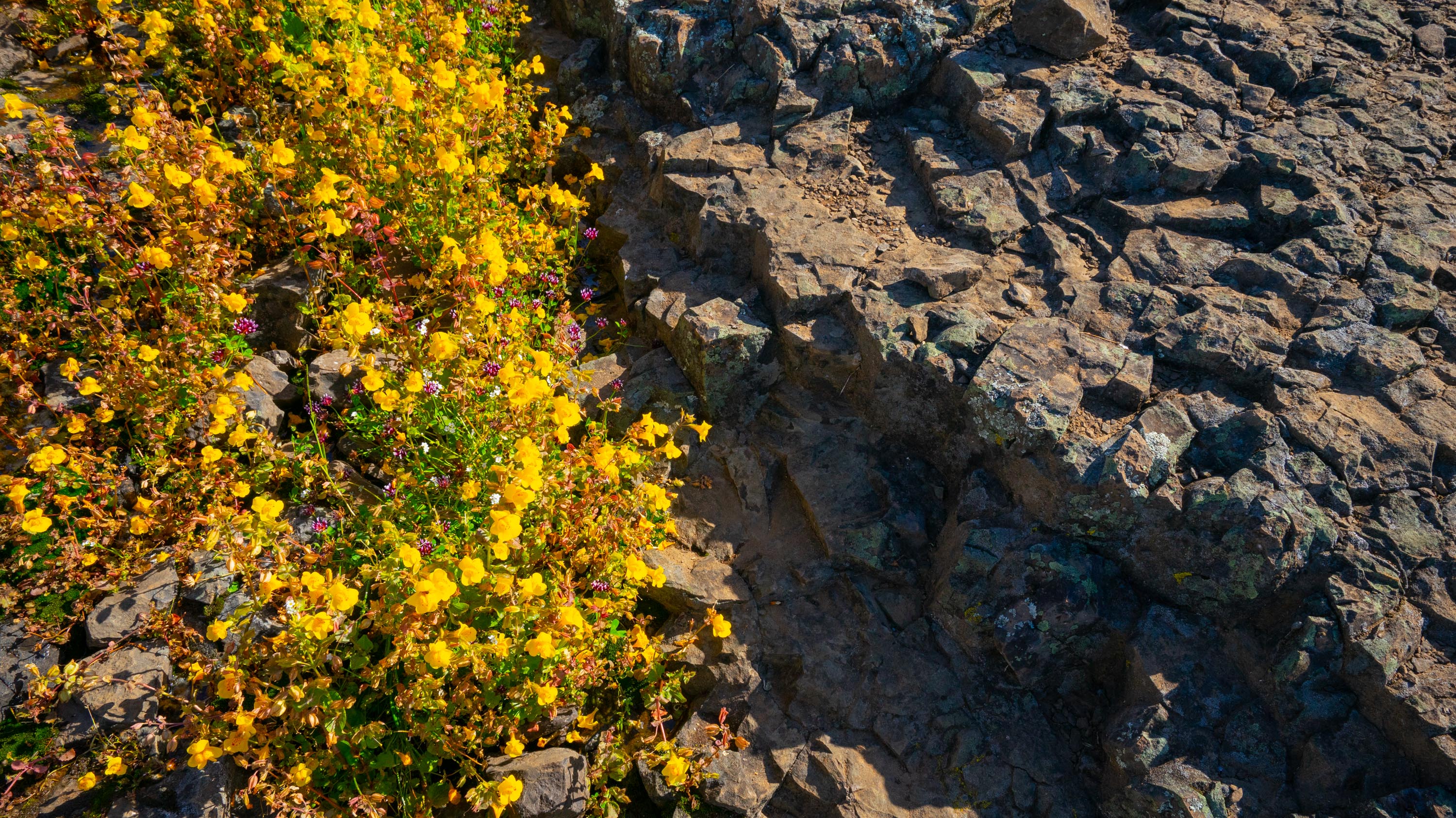
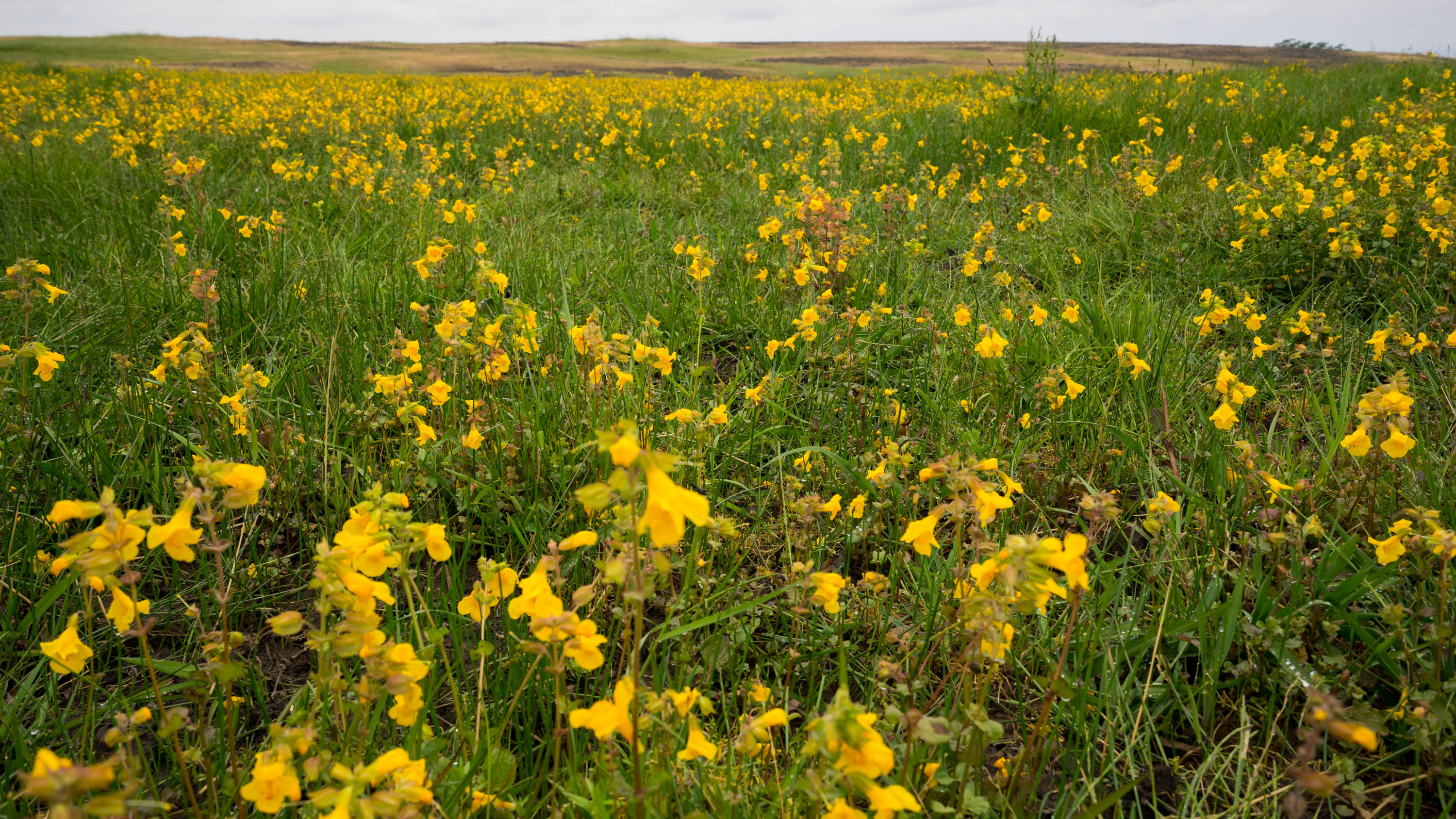
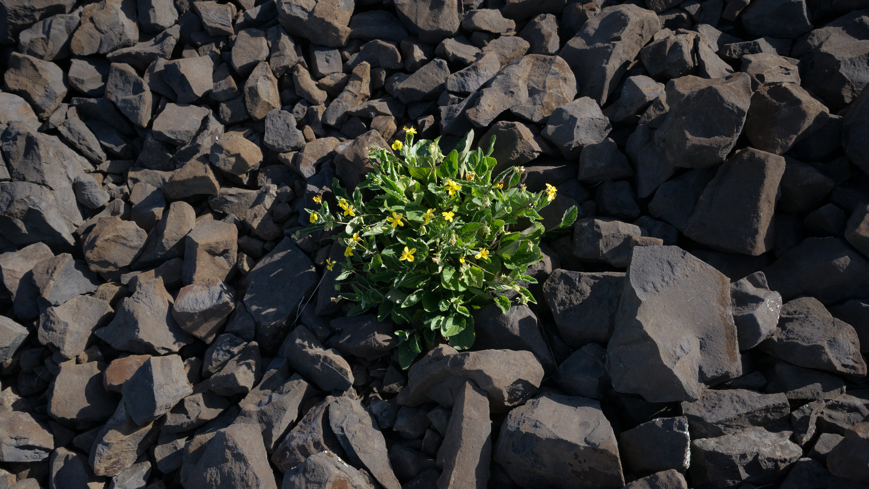
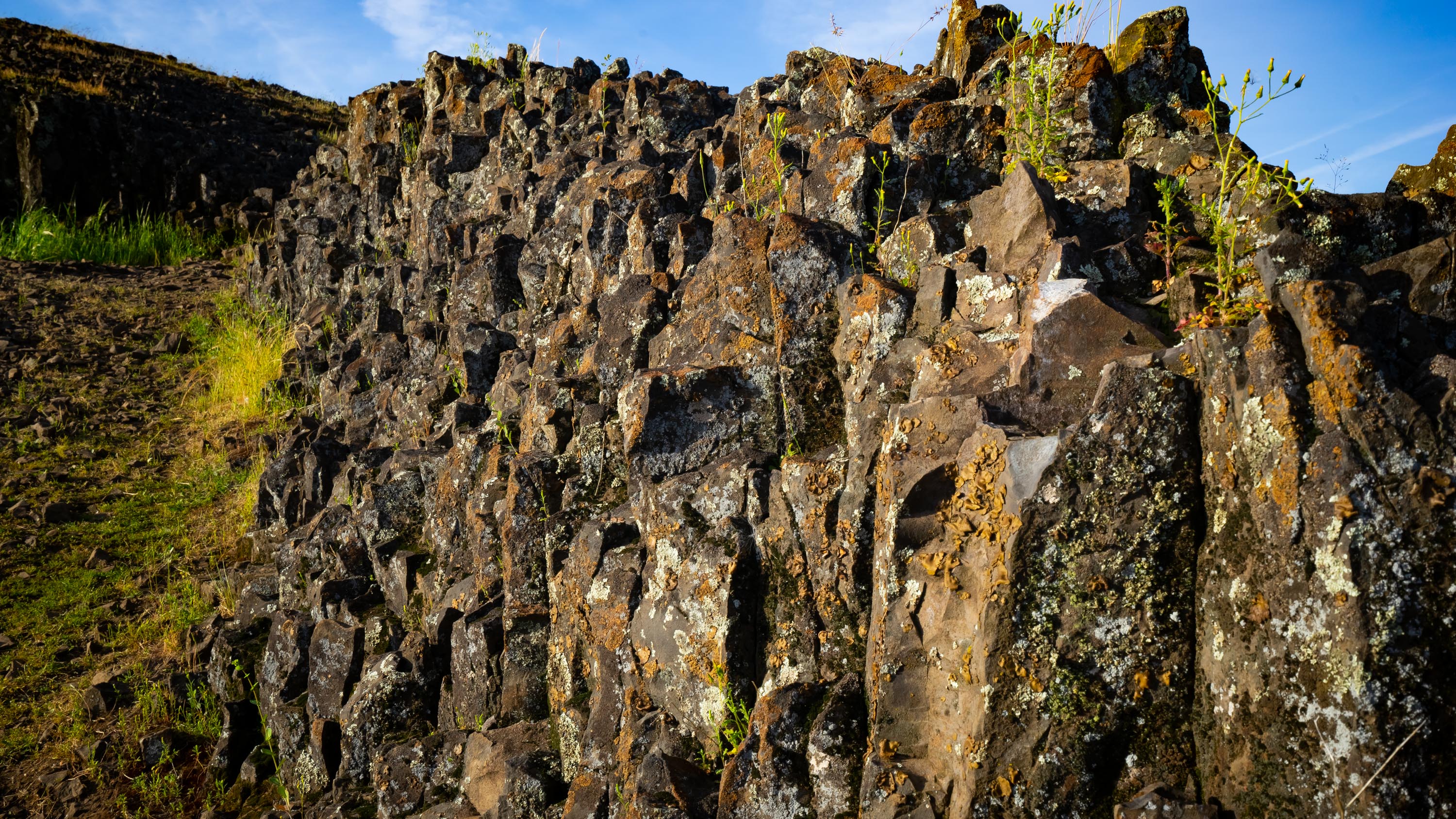
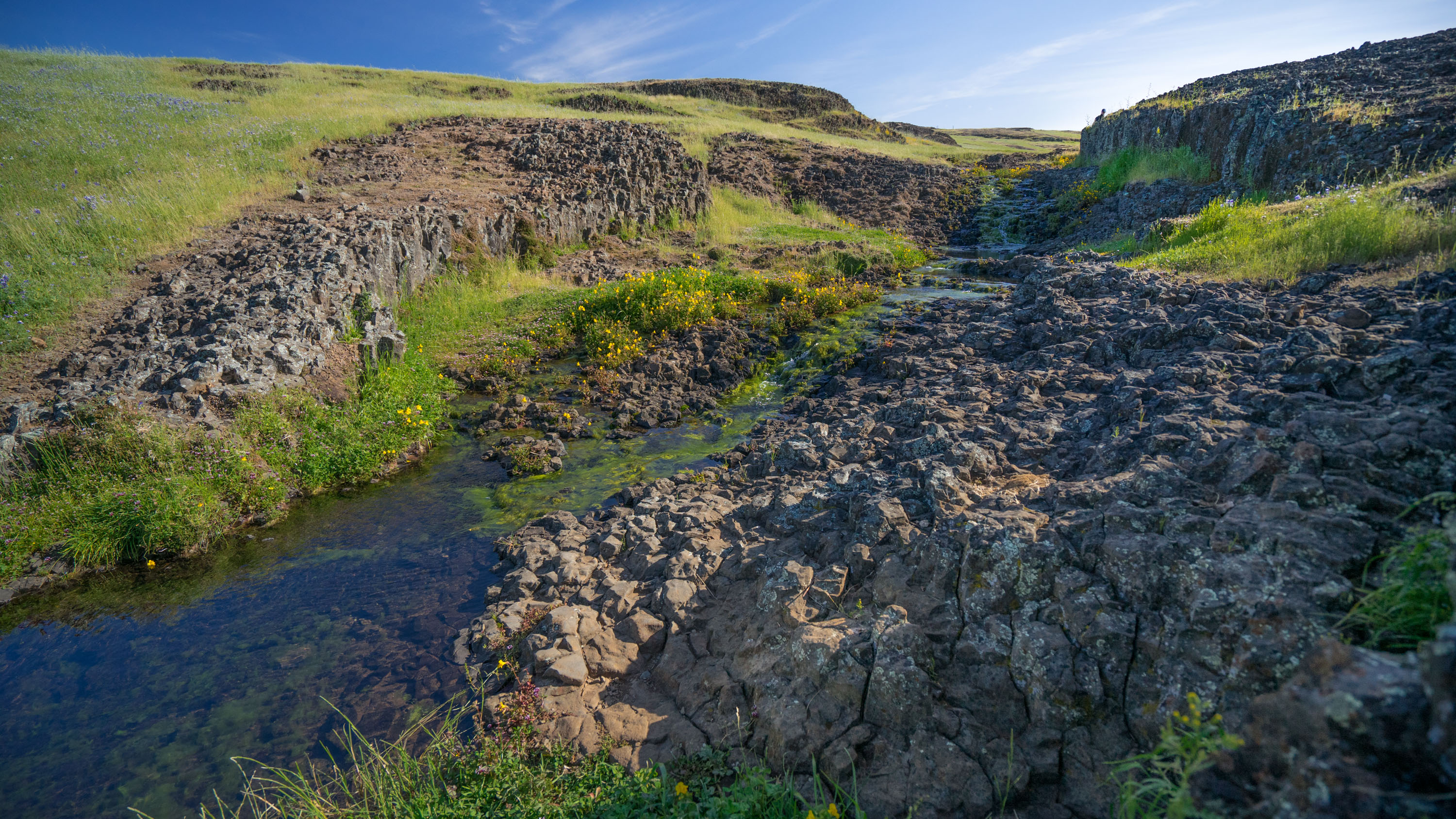
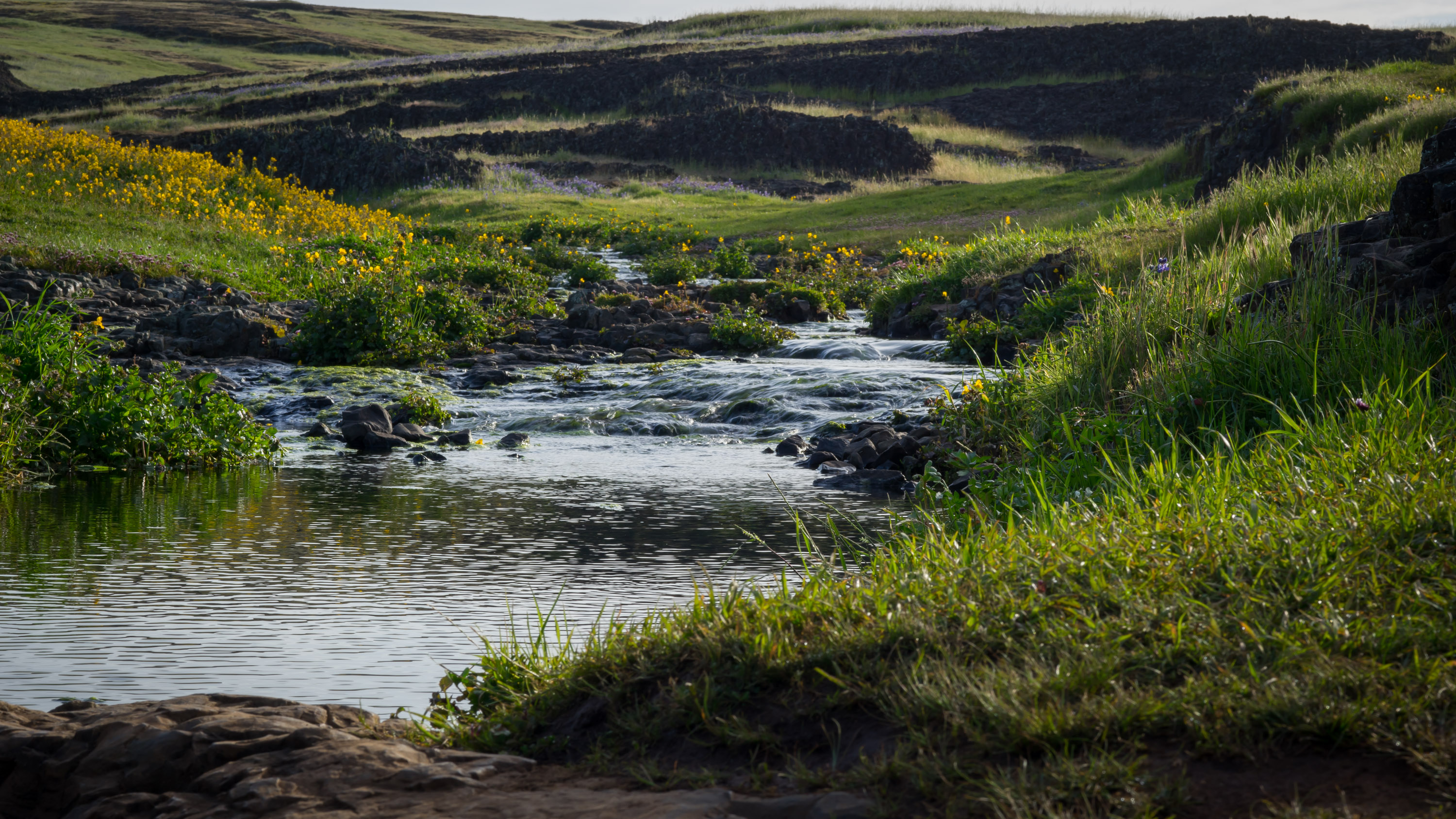
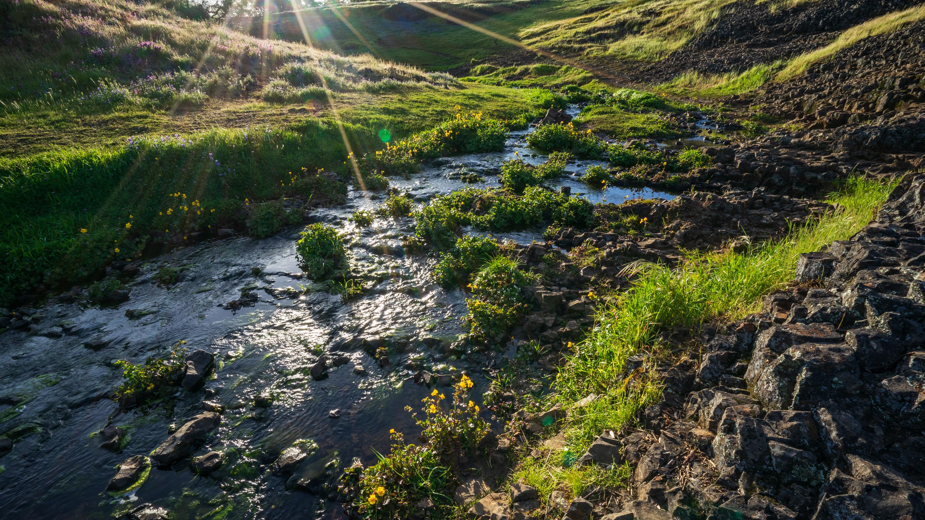
For a few months of the year, there’s a flat vista rising about 300 feet above Oroville that offers up an intriguing, if short-lived, natural show I find completely irresistible: acres of rugged volcanic basalt rock covered in almost as many acres of wildflowers.
I arrived up at the North Table Mountain Ecological Preserve before sunrise for two reasons: to catch the best light of the day and to get ahead of the crowds that converge on the landscape, especially on a Sunday in the spring.
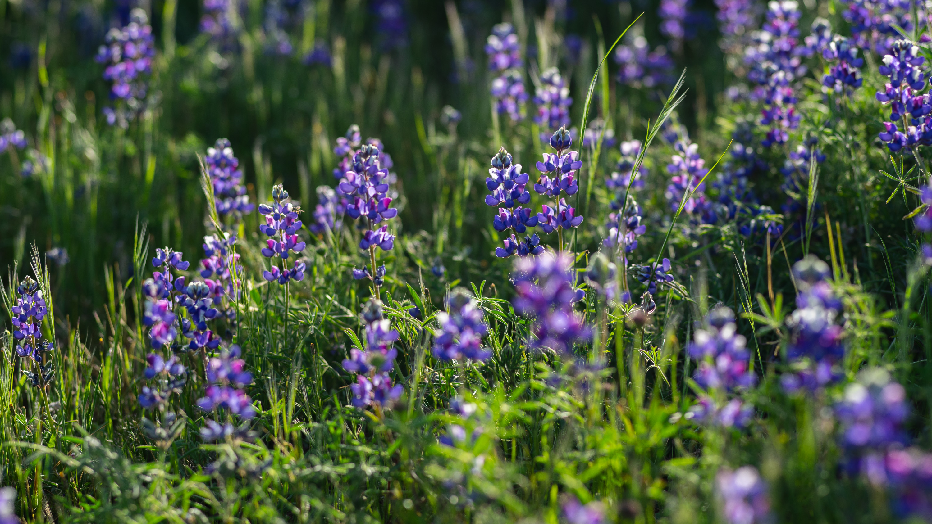
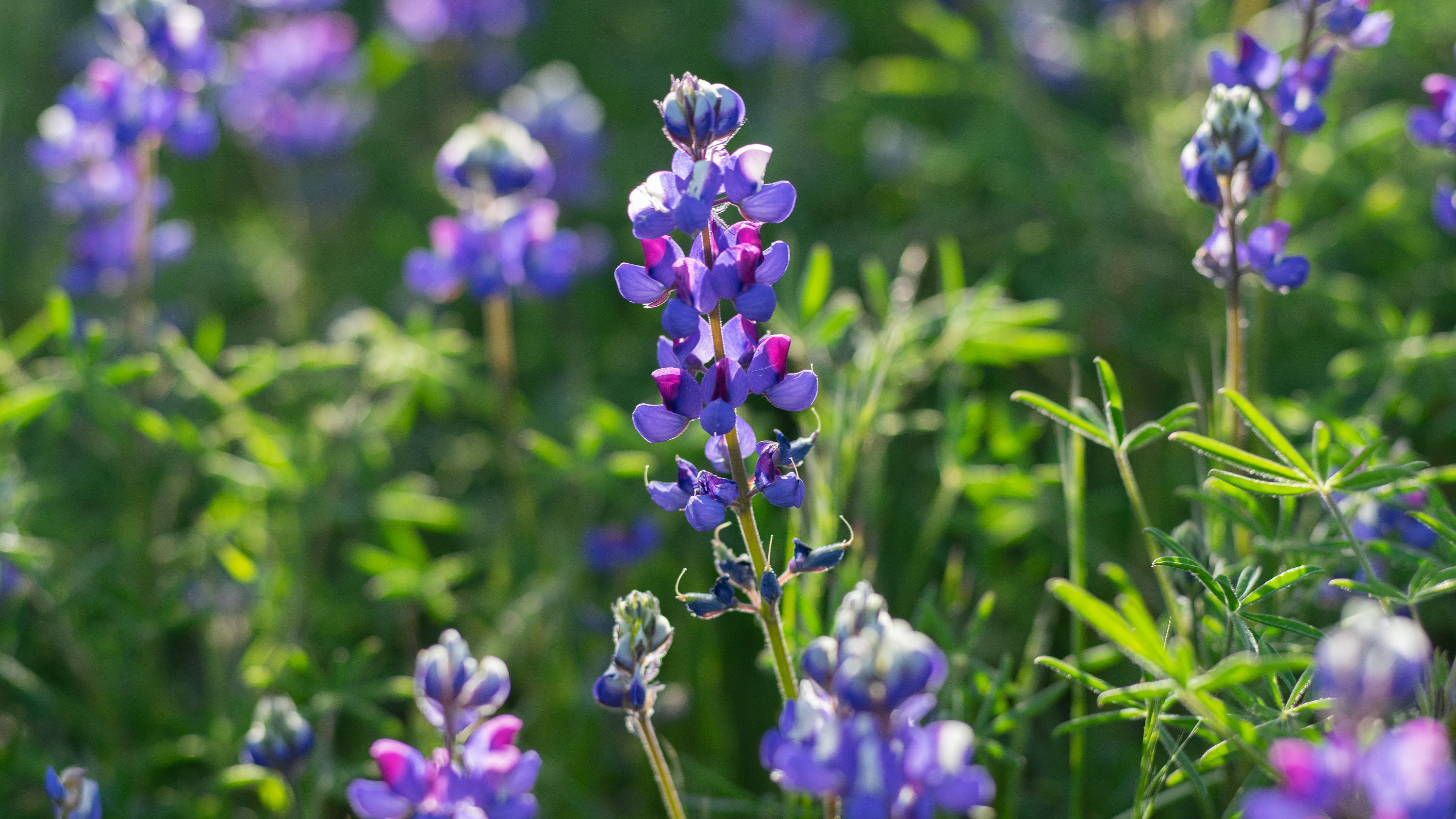
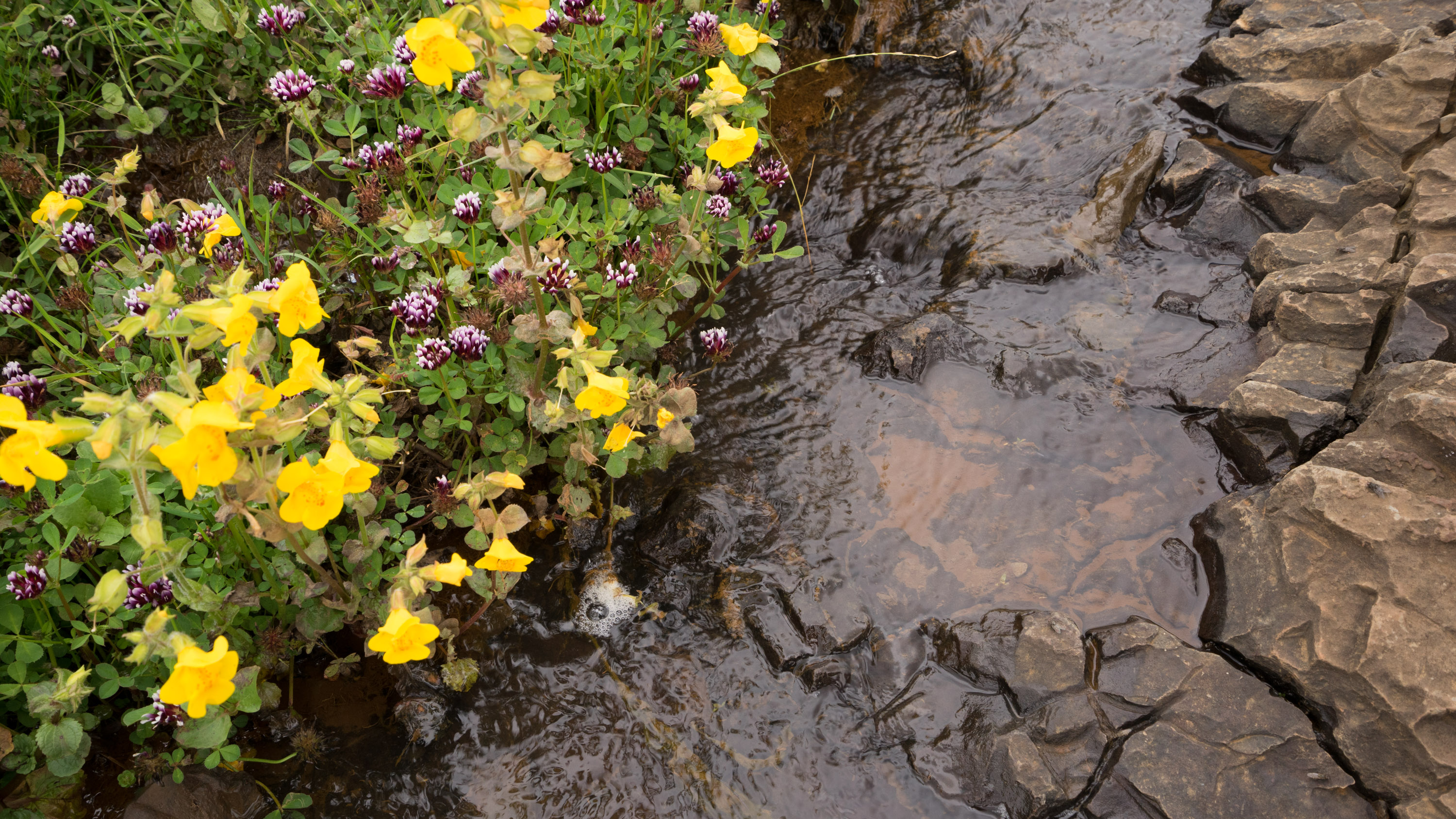
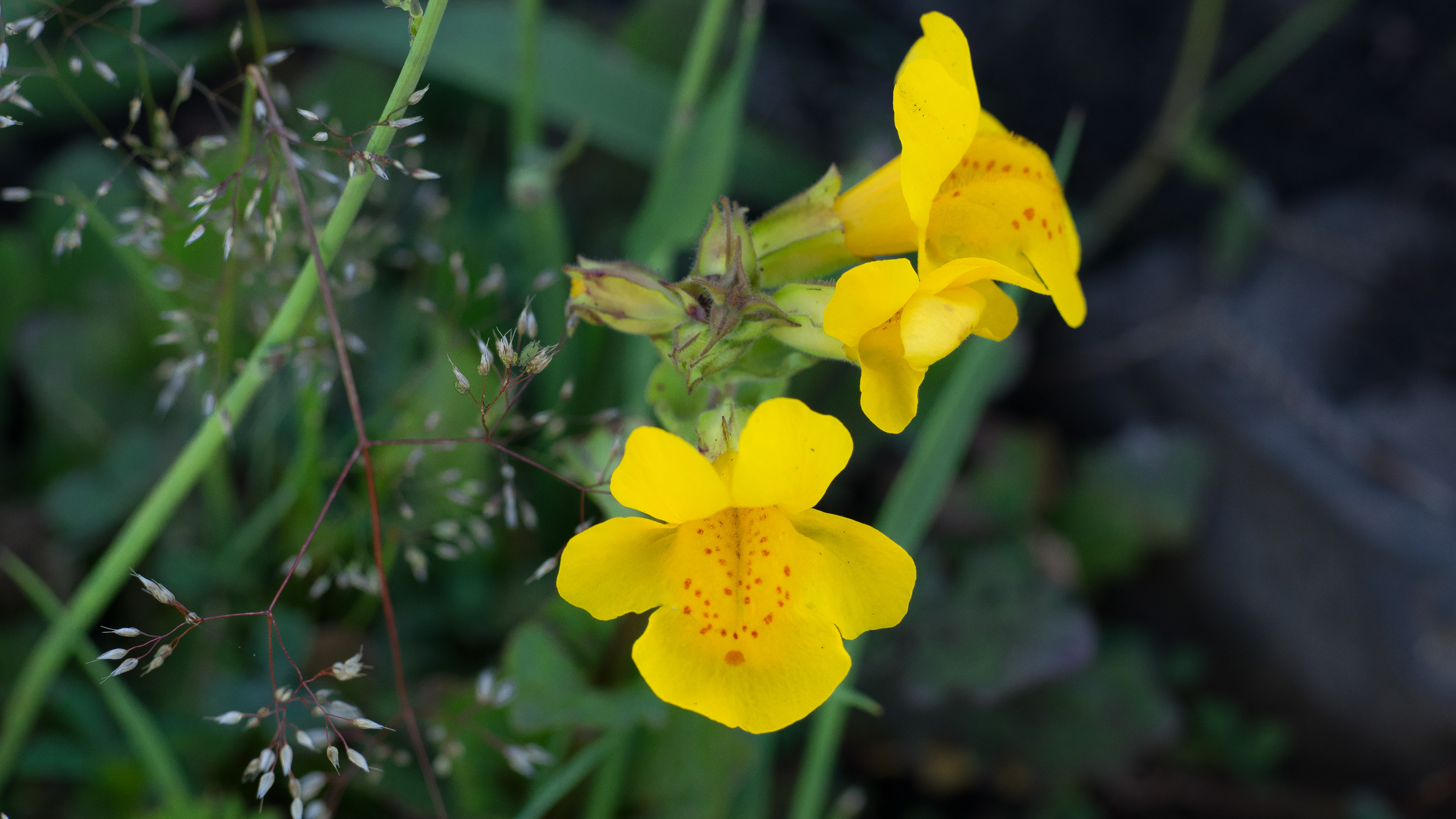
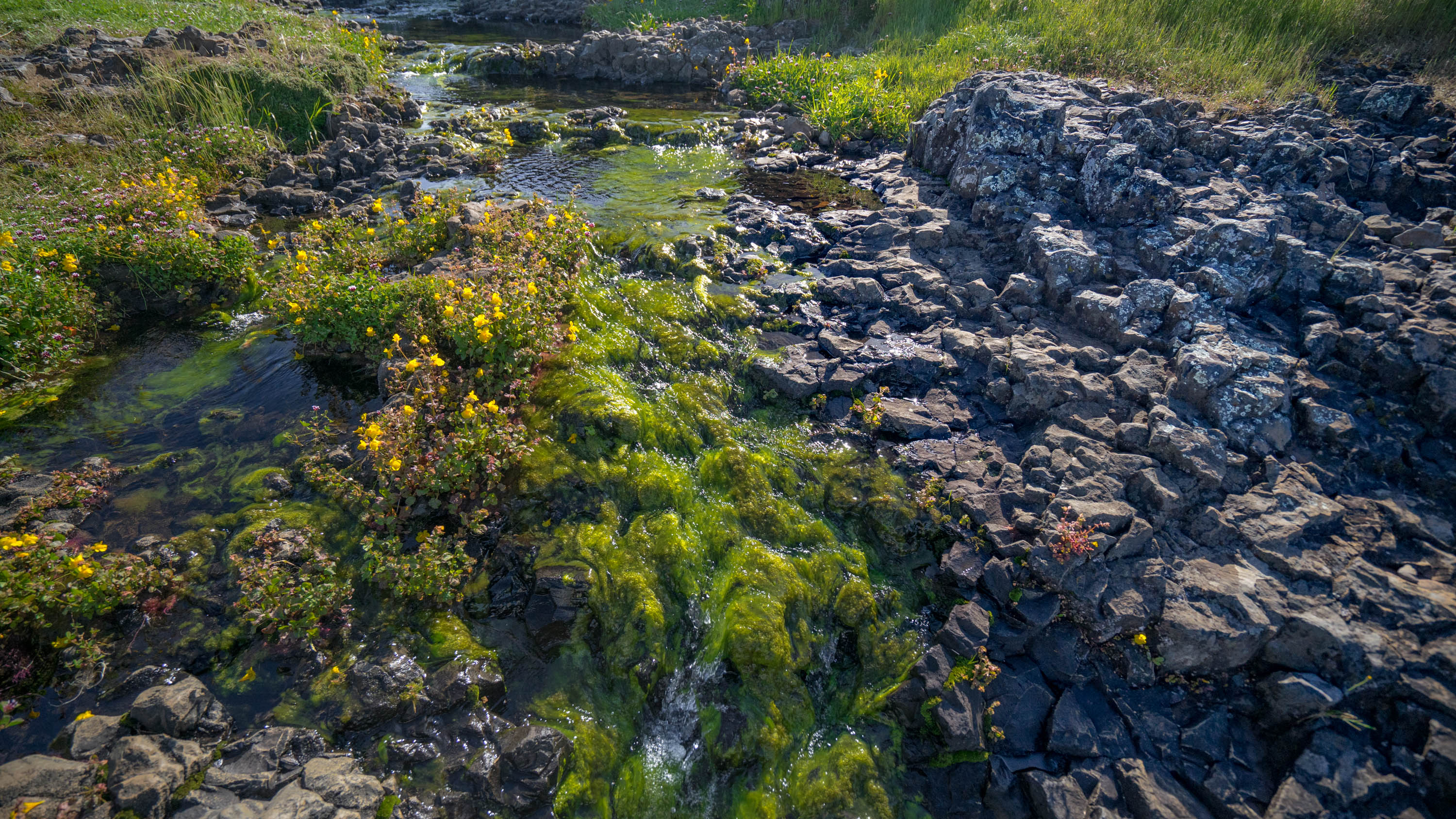
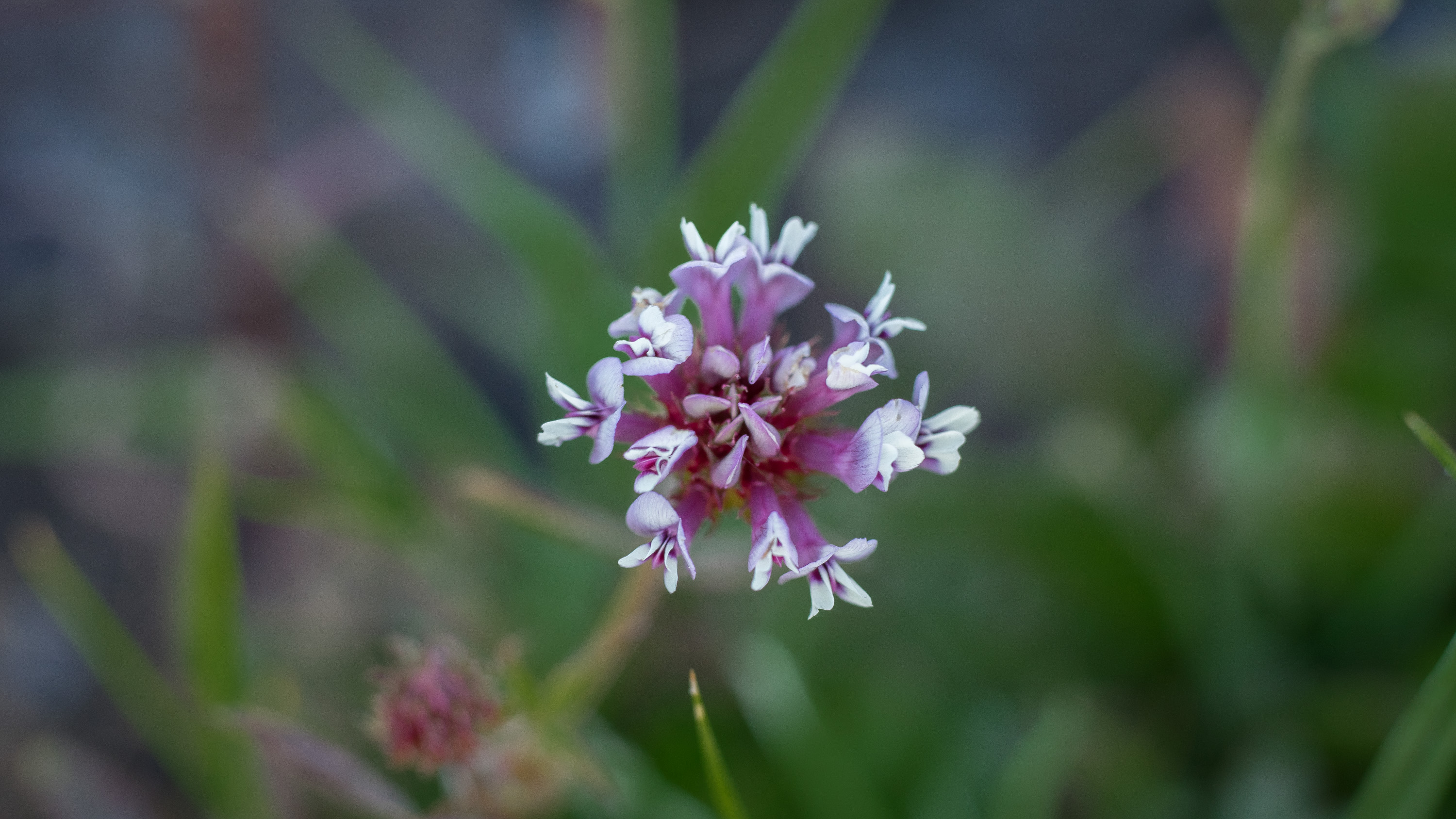
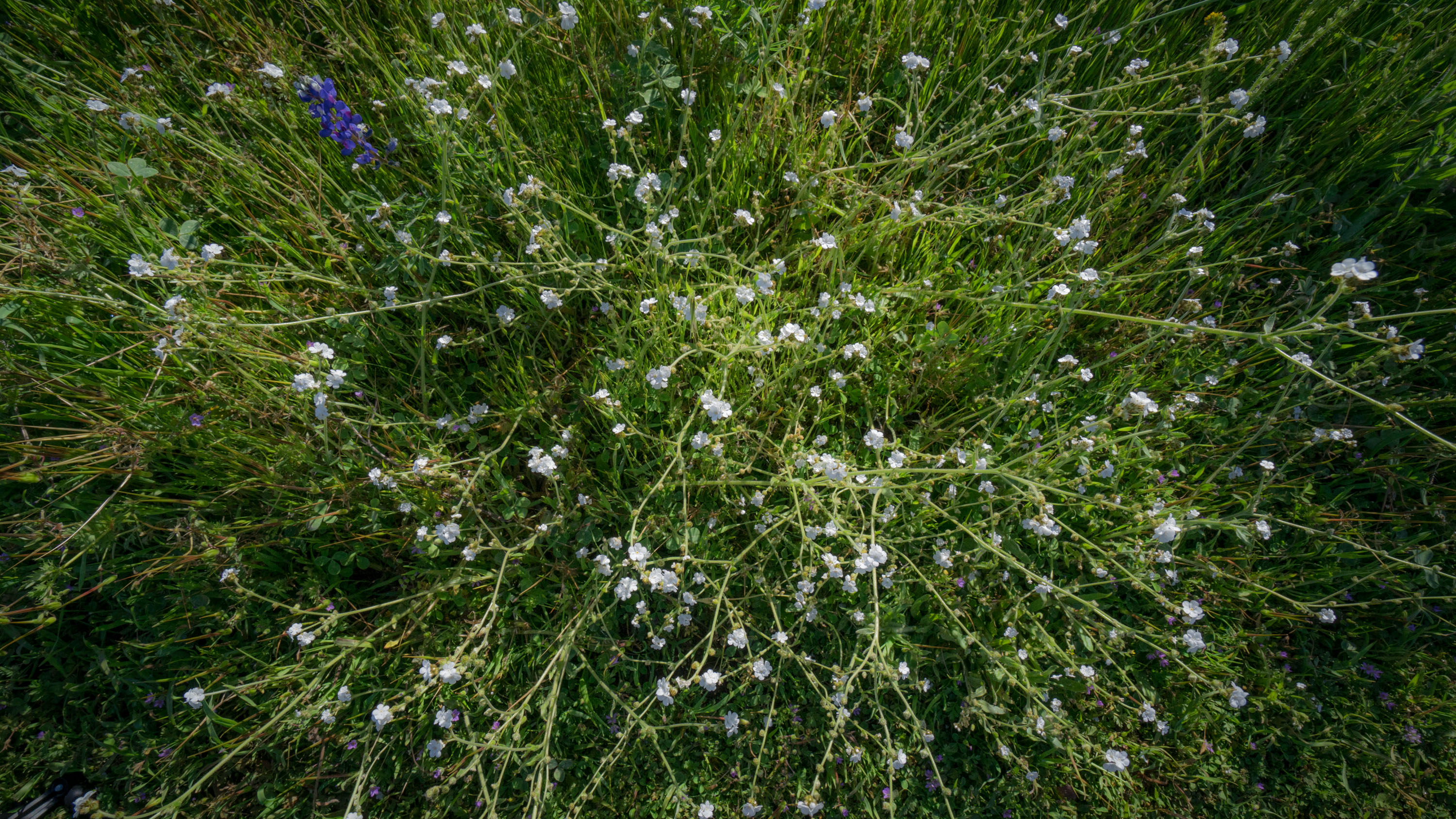
Knowing the quiet stillness of the predawn is fleeting, I quickly pulled together my backpack and tripod and set out on the trail to where I knew there would be some moving water and small gatherings of lupin for me to shoot. The water and lupin are also fleeting, as by mid summer both will have disappeared from the landscape.


As I’ve written before, a visit here would be enhanced by a little studying beforehand: here’s a good place to start: Table Mountain Ecological Plan.
The reserve is managed by the California Department of Fish and Wildlife and visitors should have a CDFW Lands Pass.
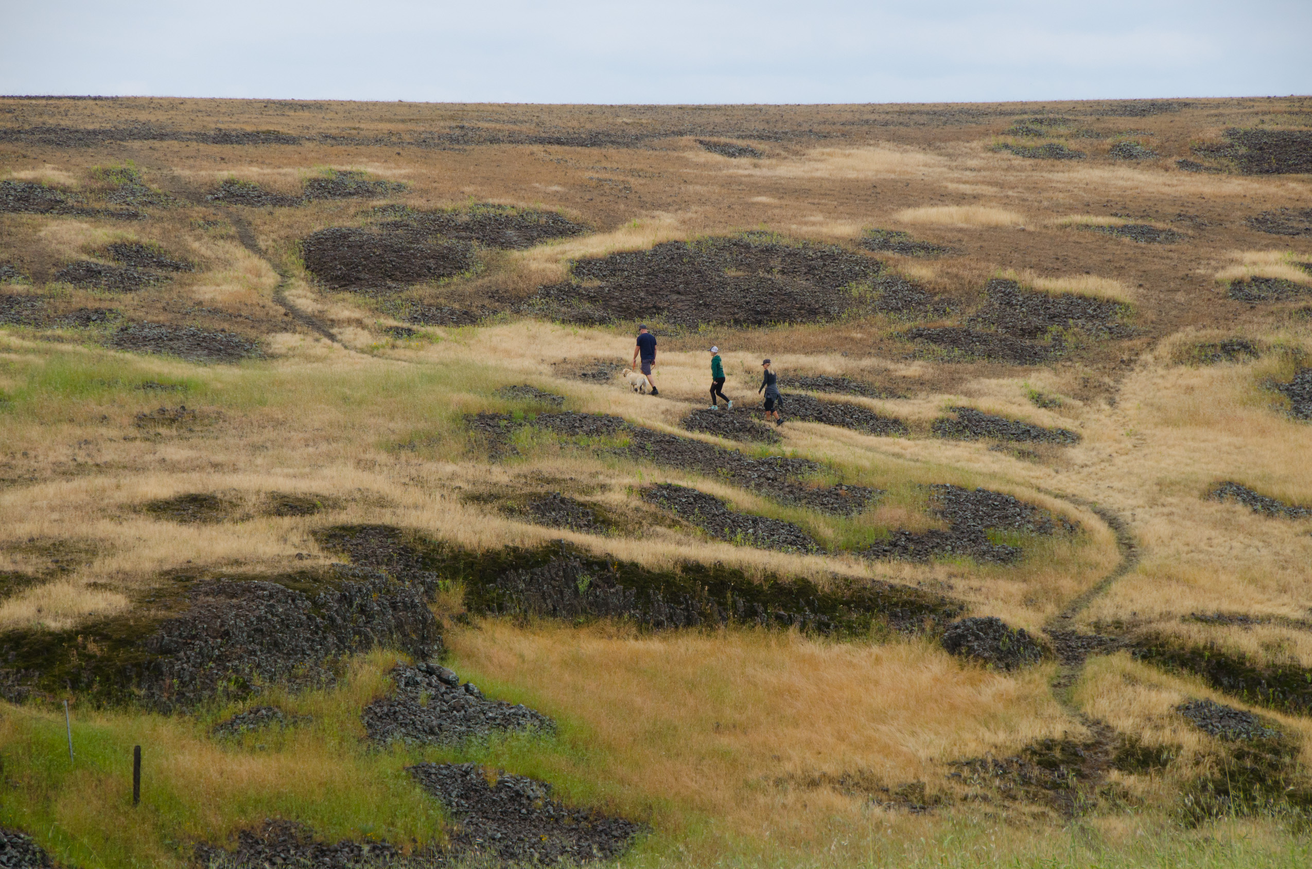

Fitness factor: Easy access from the parking lot. Some parts of the trails can be challenging; I opted to avoid a climb down to one of the waterfalls thinking it was a bit sketchy for my knees and a backpack of camera gear. Like most places in the interior of California, it can be hotter than you think in the summer, so drink fluids accordingly. Lots of exposed rock as well; not sharp obsidian, but rocks nonetheless.
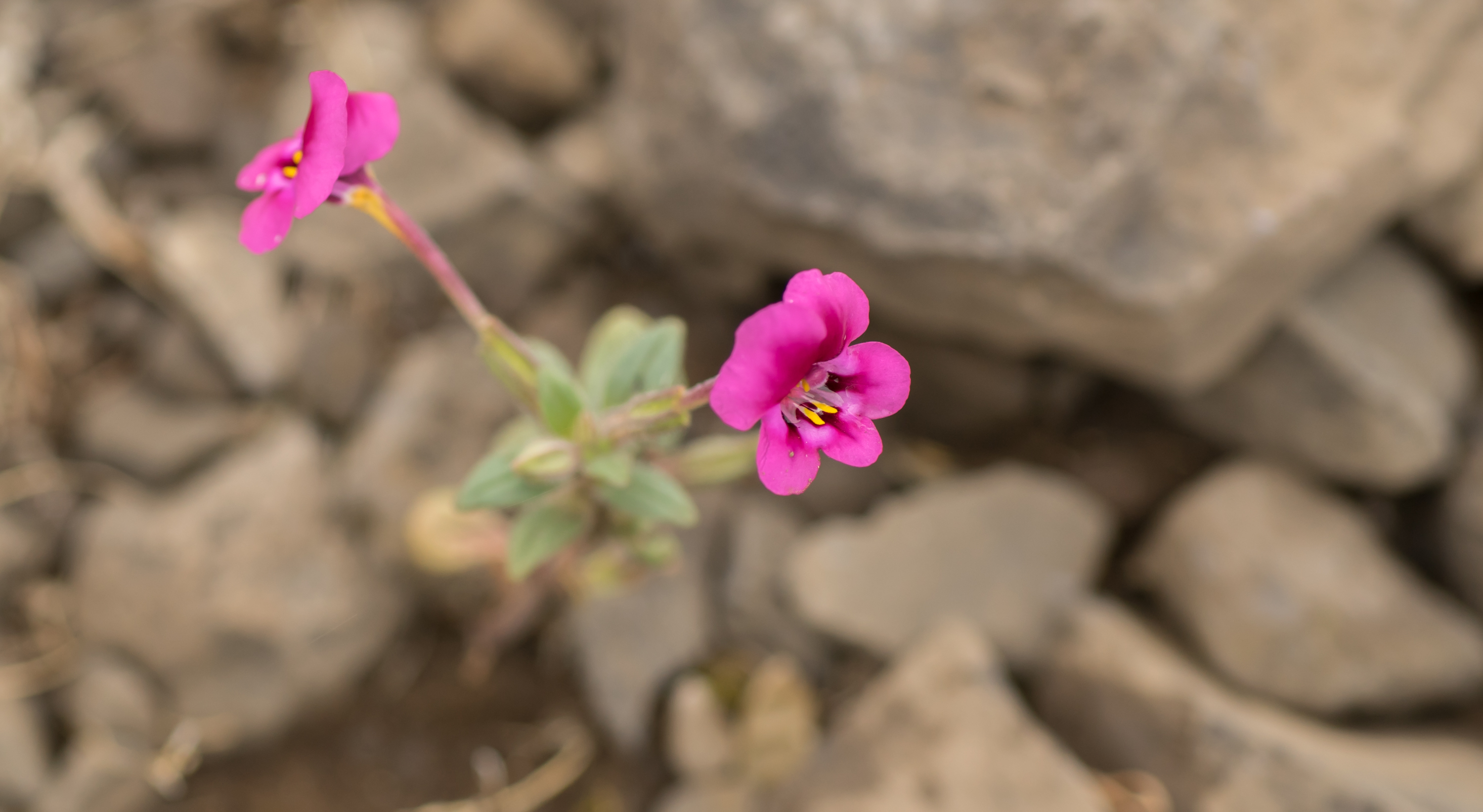
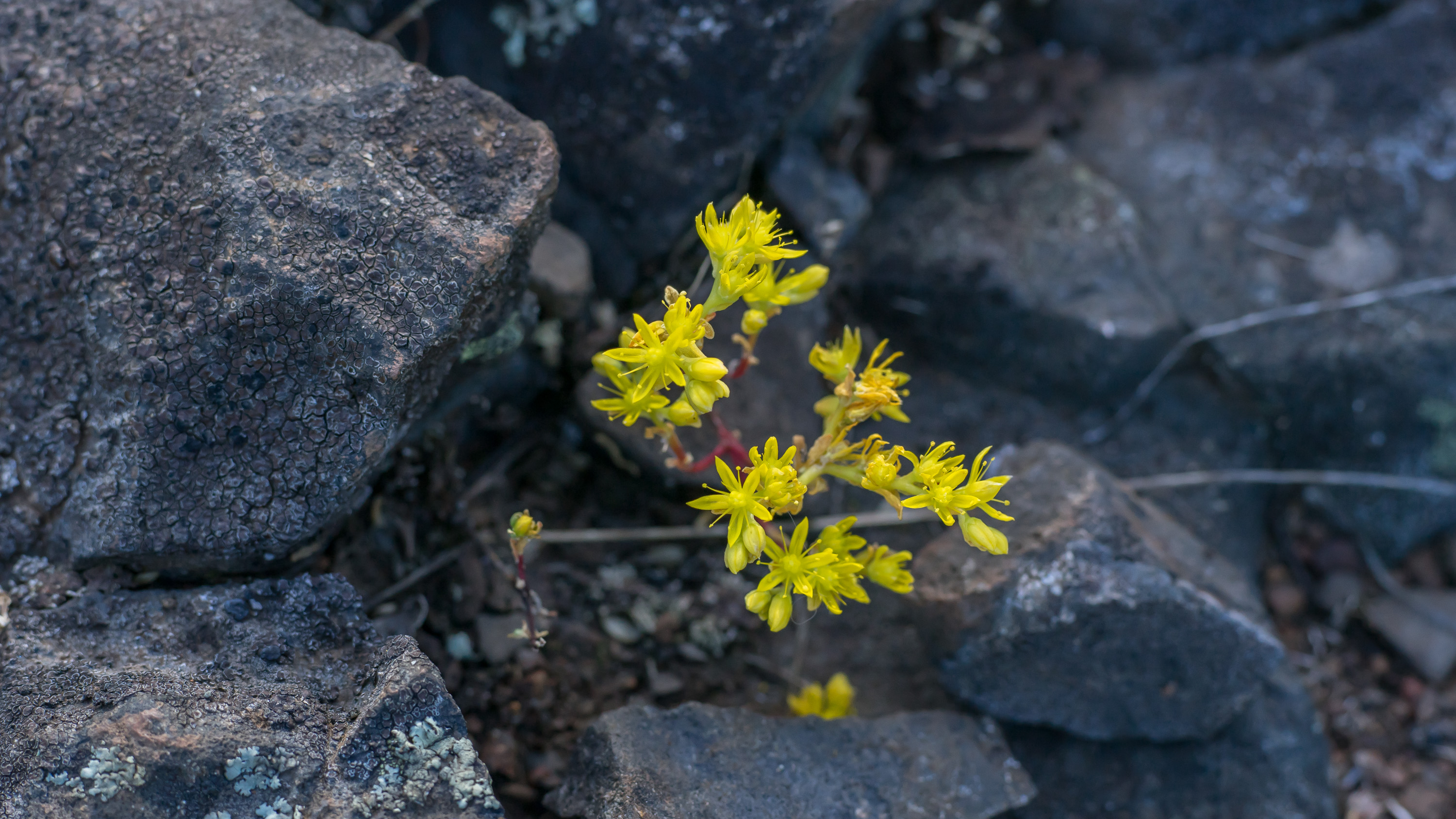
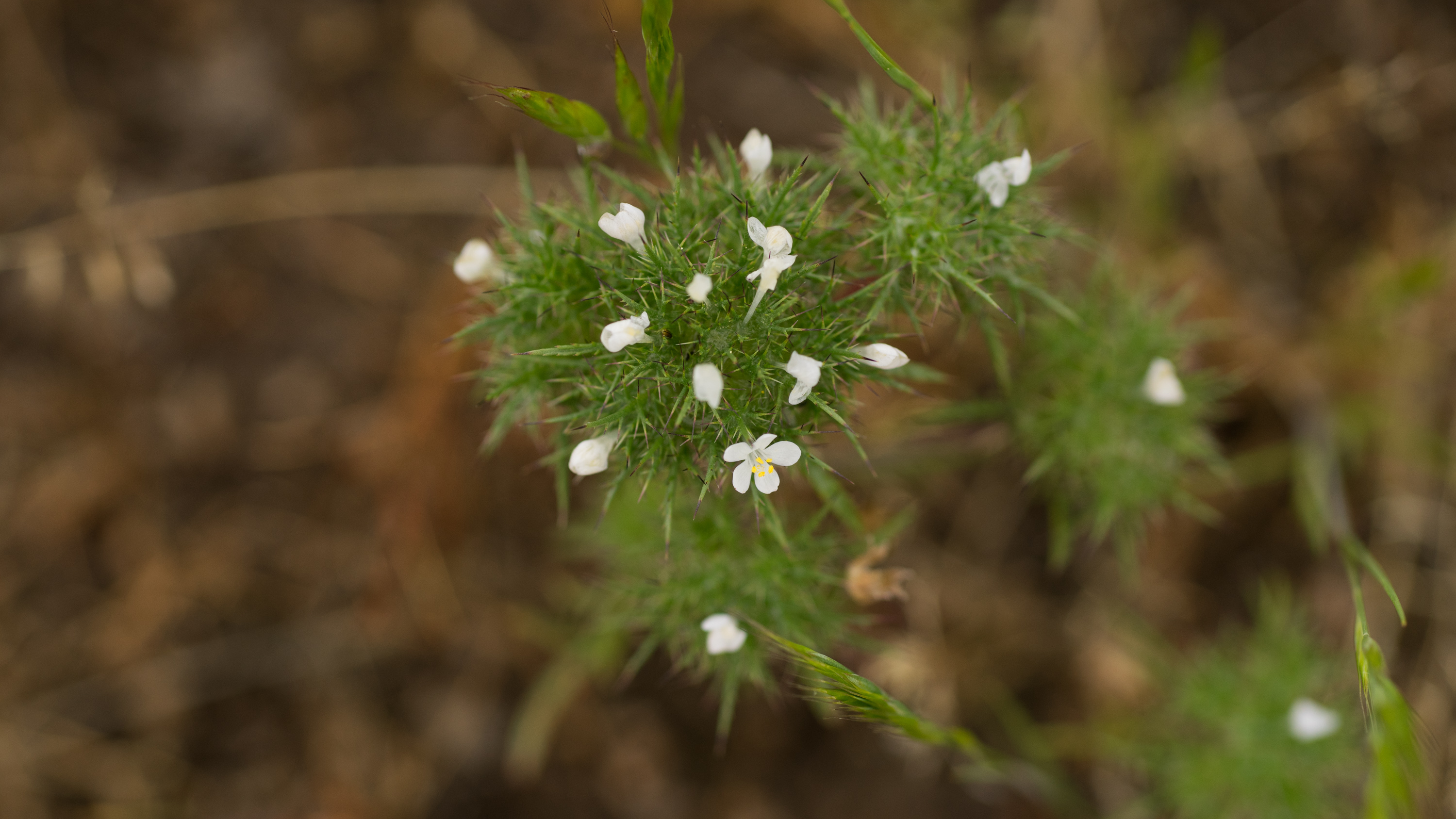
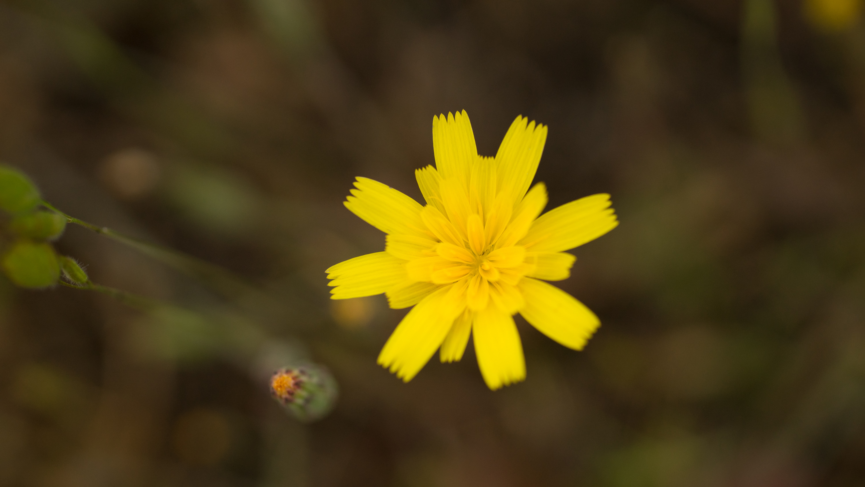
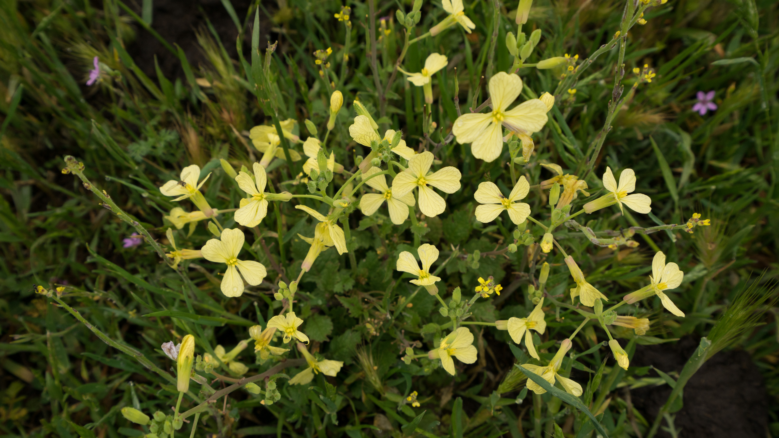
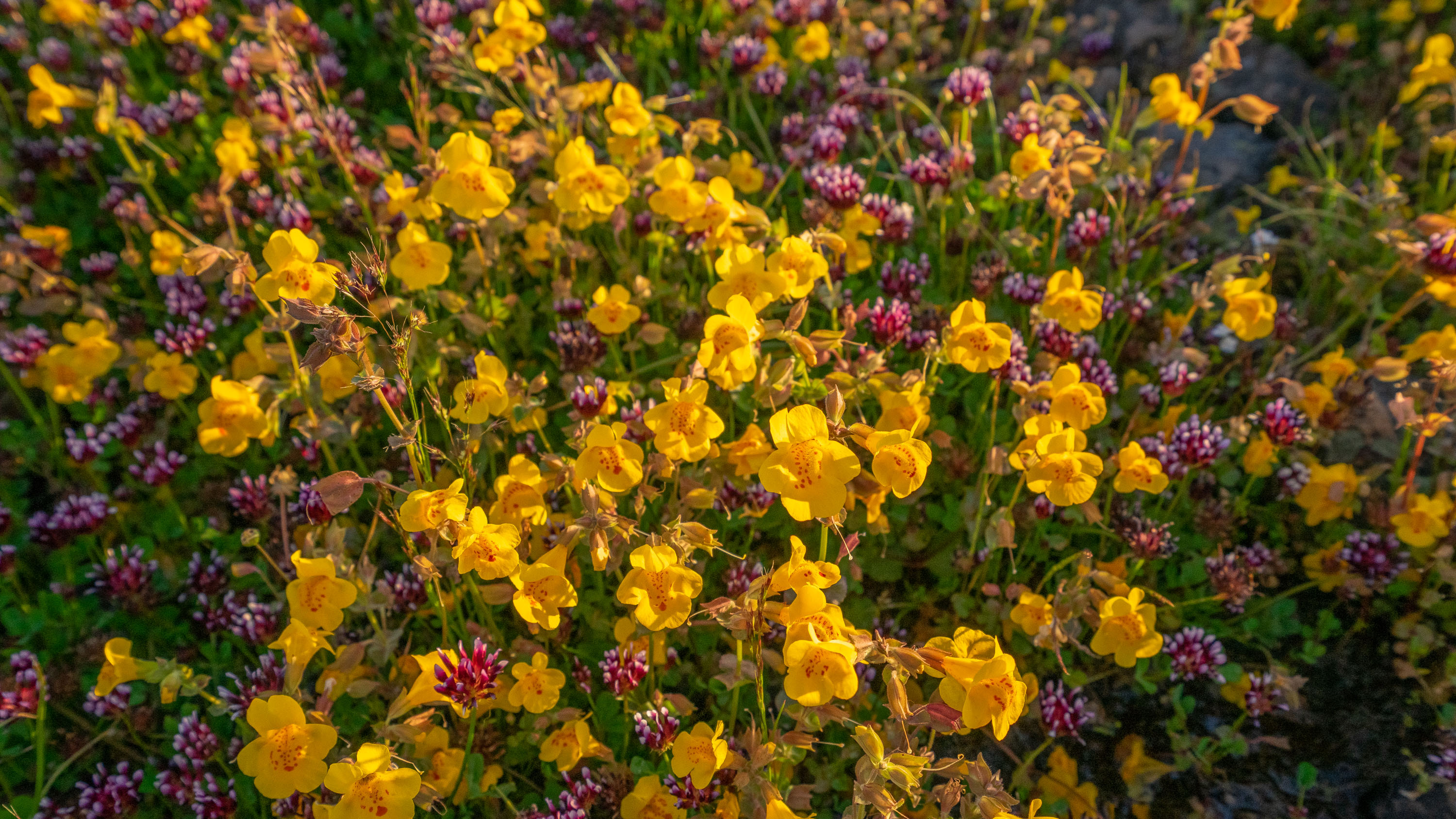
Photo factor: I find myself doing two things in this flat setting: Wide panos and tight, almost macro flowers. Anything in between just seems not photo worthy, with the exception of a few compact water feature mini landscapes. I’m currently on a ‘old lens, new tricks’ kick using adapters for my set Mamiya 645 lenses with macro rings, which worked pretty good here. They’re not as crisp and clean as a new Zeiss Batis or Sony G Master lens, but it gets the job done in a different way, even if I need a little boost in Lightroom to finish the shot off.
